In September and October we travelled by bicycle on the Bolivian altiplano. The trip took five weeks to complete. The total distance cycled was around 800 kms.
We started and ended our trip in La Paz. We first hired a “taxi” to take us out of town. We started cycling in Copacabana on the shores of Lake Titicaca. then travelled south to Sajama. Then south to the Salar de Uyuni and finally Uyuni. There we chartered transport to take us back to the capital.
Bolivia, cycling the Altiplano
The combination of high altitude, poor road conditions and limited food supplies make cycling on the Altiplano a challenge. Don’t choose this destination for your first cycling trip. When you have some cycling experience, cycling along the volcanos, cactuses, lamas and especially cycling the Salar is great.
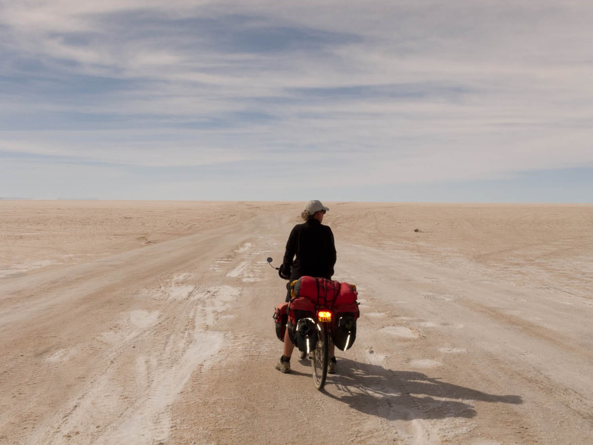
On the salar
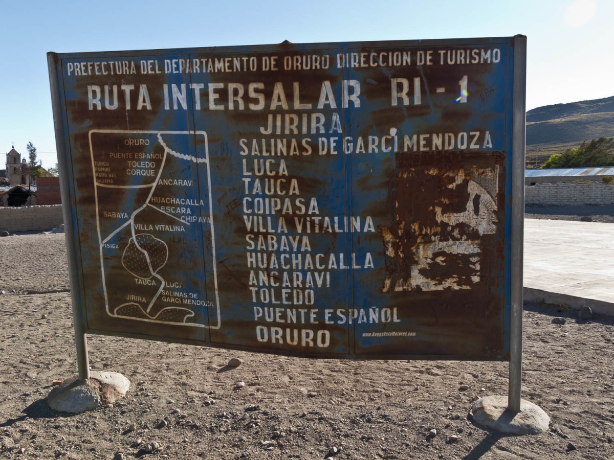
Maps
We used two maps: the Nelles Map of Bolivia and Paraguay (edition 2008) and the Bolivia map of the World Mapping Project (edition 2011) . The Nelles map is scale 1 : 2.500.000. It shows shaded relief. The WMP map shows contour (height in m), scale 1 : 1.300.000. On the one hand the maps contain conflicting information, e.g. the distance between cities. On the other hand they complement each other: they show different villages along the same route.
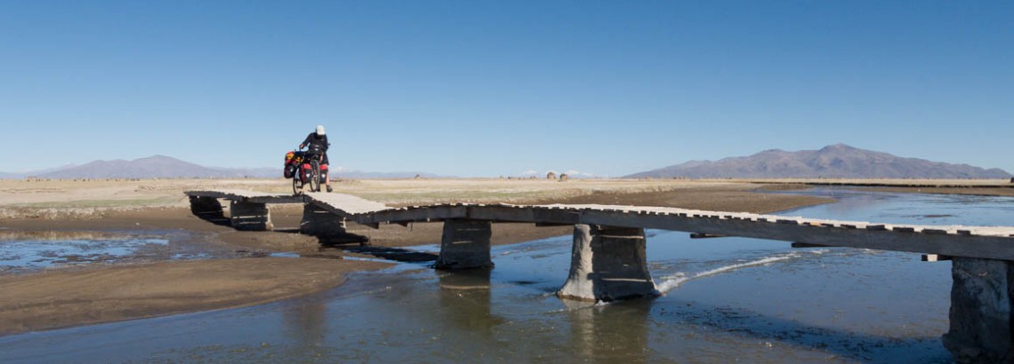
The road continues
We have published our entire route as a Google Map. See our Tour Report page or download the kml file (e.g. for use in Google Earth)
The Viajeros Argentina has a good free map to use in your GPS that we found useful and mostly accurate..
Books
We used the Bolivia guide of Lonely Planet for general travel information, first published in 1988. The most recent was the 7th edition, published april 2010, ISBN 978-1-74104-998-5. It’s the most extensive guide available.
If you don’t speak Spanish, take a phrase book. Don’t count on meeting Bolivians who speak English.
Bolivia on the www
- Andes by bike; good info that inspired us to do this trip
- Video of the Verhage familiy crossing Bolivia by bike
- Video of dutch couple cycling South America; English subtitles.
- Tourreport of German cyclist Jörn Tietje. The only cyclist we met outside the Salar de Uyuni. We even met him twice!
Roads and traffic
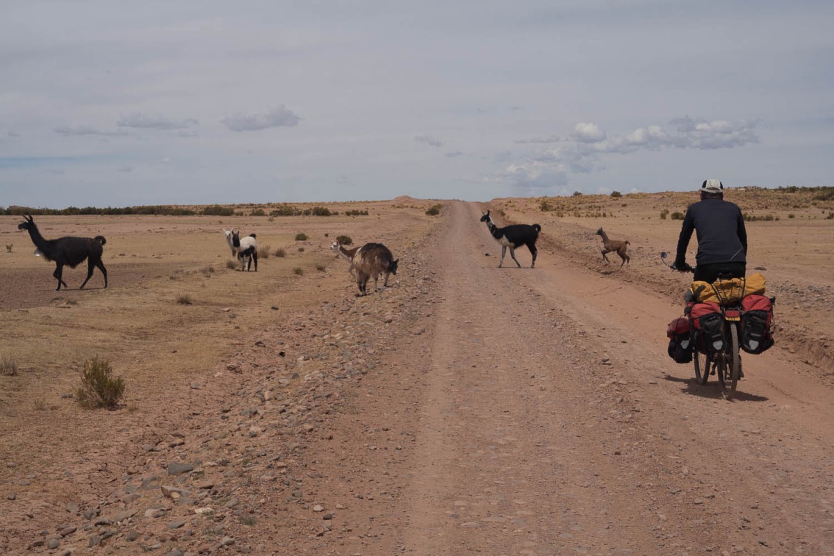
The main roads, connecting the larger cities, are quite busy. Cycling is not always a pleasure on these roads. Sometimes you can cycle safe and comfortable on the shoulder. Sometimes there is no shoulder at all and you have to share the road with the large trucks. Therefore we preferred the backcountry. Disadvantage is the often bad state of these roads, the advantage is that there is little or no traffic. It was not uncommon to meet only 2 cars and a motorcycle in a day.
Busy road
Under Evo Morales as president road improvement is a priority (as is building schools and hospitals, and electricity in villages), so road conditions are changing rapidly.
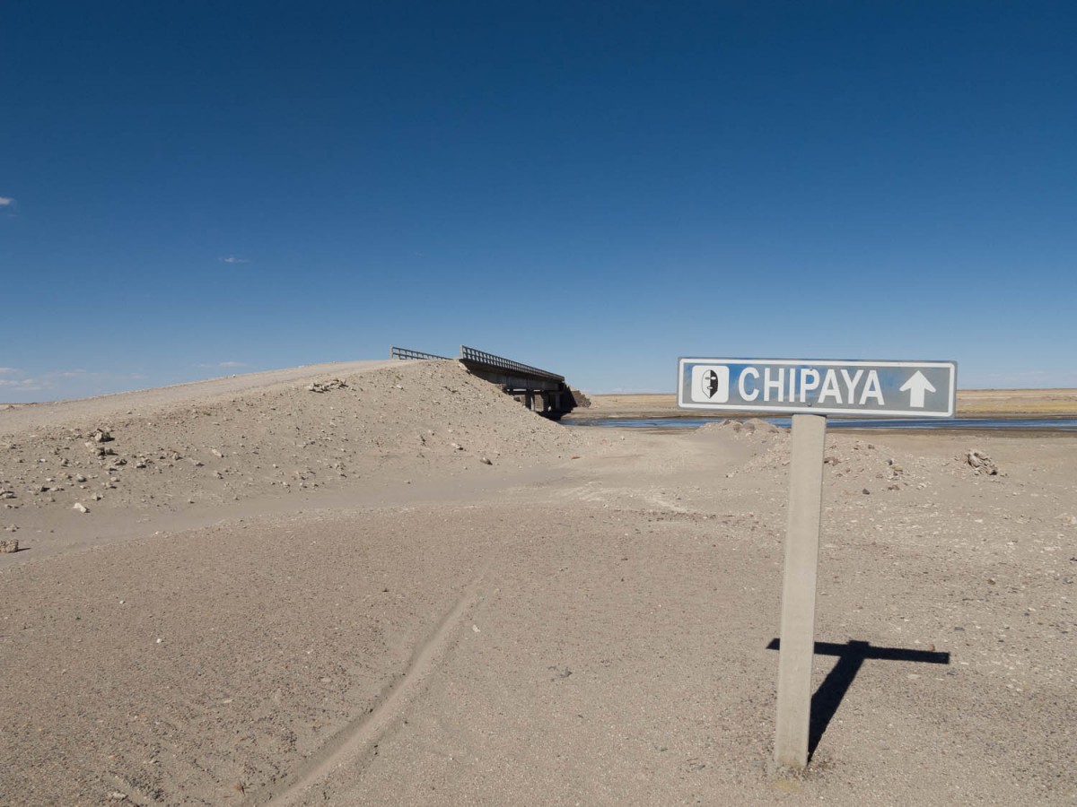
Apart from the main roads there are no signposts. That’s no problem leaving a village, although people often only are familiar with the name of the next village. It’s more complicated at every road fork and junction outside the villages: most of the time there is no one around to ask. We used our GPS frequently.
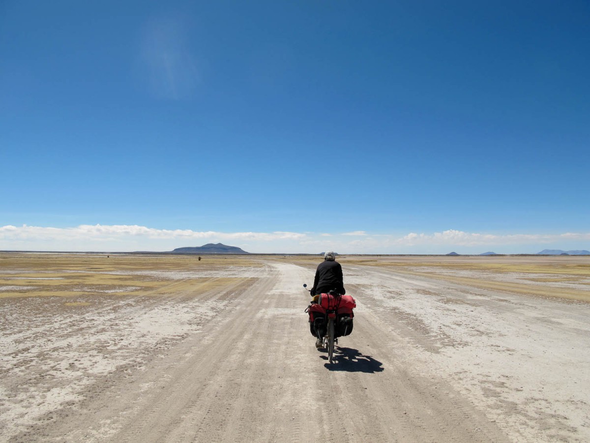
San Martin is in the distance
Don’t count on covering large distances. As soon as we left the main roads we covered no more than 40 to 50 kilometers a day.
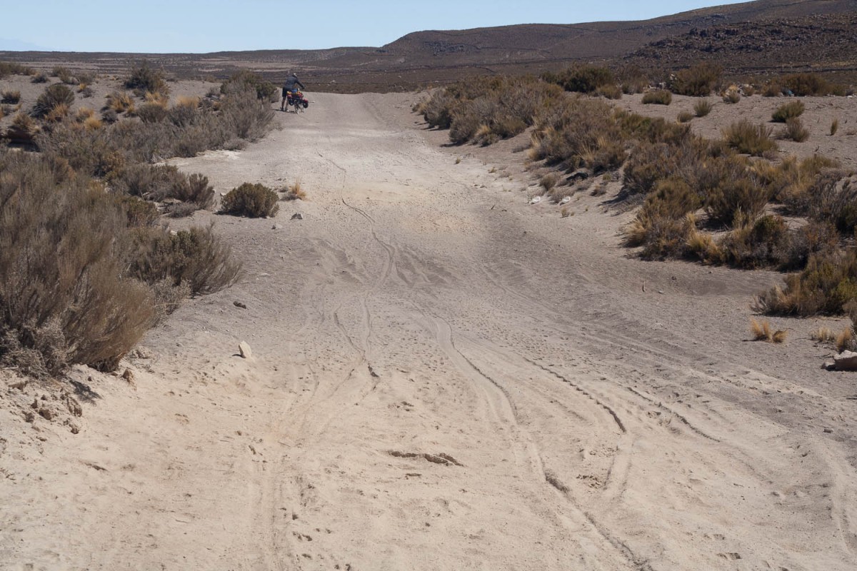
Soft sand near Jirira
Water
We fetched water from water taps and wells in villages, or we bought bottled water in shops. Bottled water is often available, but not always, so don’t count on it. We filled our bottles whenever we could, as it was often unclear when we would find another water source. We carried a waterfilter.
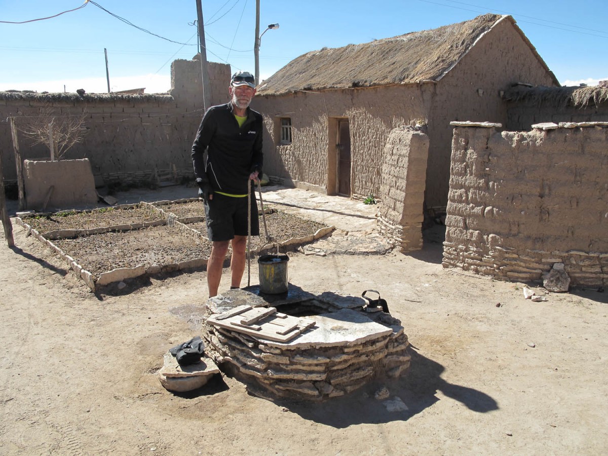
Getting water from a local well
Food
Outside the main cities and larger villages, there is not much available. Sometimes for days on end we could buy nothing but cans of sardines in tomato sauce, bread and biscuits. The dried vegetables that we brought from home were a pleasant change from this diet.
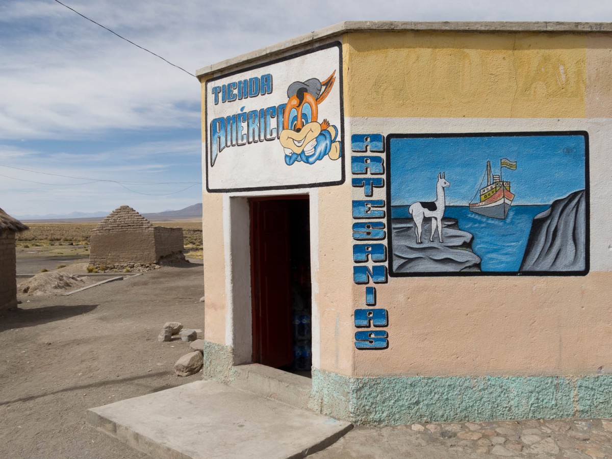
Shop in Sajama village
Climate
We cycled in September and October. The nights were chilly, not freezing cold anymore, the days had pleasant cycling weather. Most of the days it was sunny, and warm enough to cycle in short sleeves and shorts. On the Salar you are not only cycling at high altitudes, the salt also reflects the solar radiation. Despite using lots and lots of sunscreen, Anja got severely sunburnt.
to Chiapa
The climate is very harsh on your gear: clips of the panniers broke, the pole of the tent was torn, we lost a replacement part of a pannier on the bumpy roads etc etc.
Cycling at high altitude
We arrived at the airport of La Paz (4000 m). Yes, we had headaches the first days. We had decided not to cycle the first days, in an attempt to get acclimatised. It didn’t help. On our first day of cycling we met a guy on a bicycle who had been on the road for several weeks and he was still out of breath as soon as the road went uphill only a little bit. After 5 weeks in Bolivia we experienced a little improvement.
Money
In 2012 the only ATM’s along our route were in La Paz, Copacabana and Uyuni.
Where to stay
Camping
No campsites in Bolivia. You can put up your camp anywhere, just respect the people’s privacy. At the end of the day we just cycled off the track and always found ourselves a nice spot for our tent.
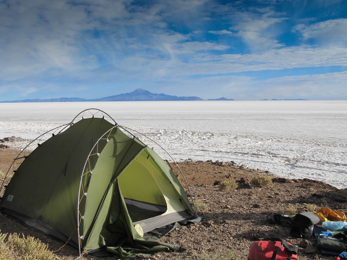
Camping at isla Incahuasi
Hotels and more
The next accommodation is often more than a day cycling away, so camping gear is advisable. Hotels you will only find in cities and the larger villages. We also stayed at alojamientos and posadas. Here the facilities differ largely. Sometimes a shower (hot or cold) was available, sometimes only a sink with cold water and at other times no running water at all.
Special are the salt hotels at the edge of the Salar. They are completely constructed of salt blocks. The quality of these hotels range from excellent to poor.
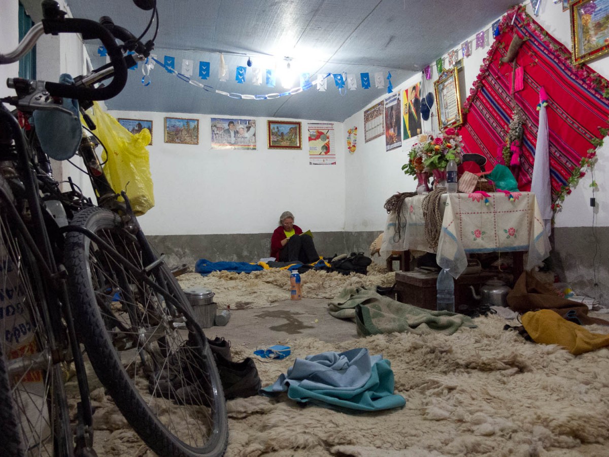
Accommodation at the ‘mayors’ office
Other ways of getting around
We don’t advise to cycle into or out of La Paz. It’s a never ending smelly traffic jam on steep and narrow roads. That’s why we rented a minivan with driver to leave La Paz and to return from Uyuni. The advantage is that you can stop whenever and wherever you wish and, more important, can oversee the storage of the bikes (inside the bus). This reduces the risk of damage significantly.
The first leg we booked through a travel agency weeks before arriving. It saved us a lot of time in La Paz. After arriving in La Paz we arranged our transport with the same company from Uyuni back to La Paz. On this trip our car had more punctures than we had during this cycling trip!
Buses run the main roads on a regular basis and may take bicycles. So do trains. Trains don’t run on an hourly or even daily basis, and they are pretty slow.
Questions?
If you still have some questions left do not hesitate to send us an e-mail.
