In September and October 2007 we cycled in the southern part of Uganda. This page contains background info about our Uganda tour.
We started from Entebbe and bikes to Fort Portal in the west, continued south to Kibale Forest NP and Queen Elisabeth NP and then turned east again to Mbarara, Lake Mburo NP, Masaka and the Sesse Islands. The trip took four weeks to complete. The total distance cycled was around 900 kms.
Maps; getting around
The Uganda map by Nelles Maps (scale 1: 1.700.000) is a reasonable overall map with relief shading of the country. Do not rely on it too much. We found distances not very accurate many times and were surprised to find small towns on our path that were not even on the map and to find towns that were on our map to be very small settlements with no services at all.
Books etc.
We used the Bradt Uganda travel guide. It´s an excellent source of information. It contains some detailed maps that supplemented our Nelles map.
Additional to it you could use the Uganda section of the East Africa Lonely Planet.
Roads and Traffic
The main highways from Kampala east to Fort Portal and south as far as the Queen Elizabeth NP are in an excellent condition. The road is wide and has a usable shoulder for cyclists to move away from speeding taxis and busses.
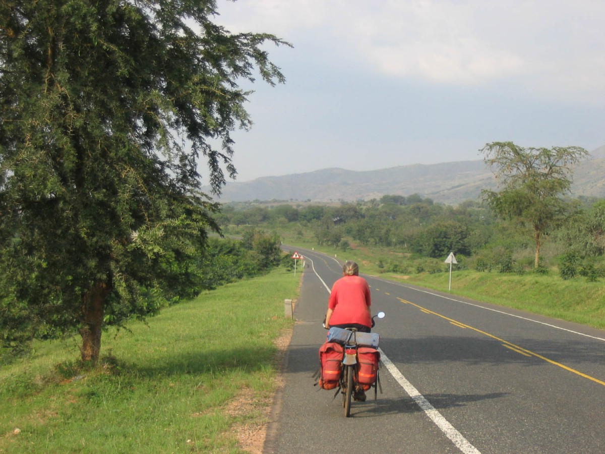
the new highway south of Fort Portal
The quality of the main highway south of QE National Park and east from Ishaka to Masaka is less. It´s narrow and potholed.
Although we did not cycle here, the highway north of Kampala in the direction of Masindi has long sections that are in a very advanced state of disrepair. Cycling here must be tough. Roadworks are in progress and in a year our four the complete road as far as Gulu should be ugraded. At this moment (end 2007) only the last 40 km´s to Masindi are new, smooth and wide.
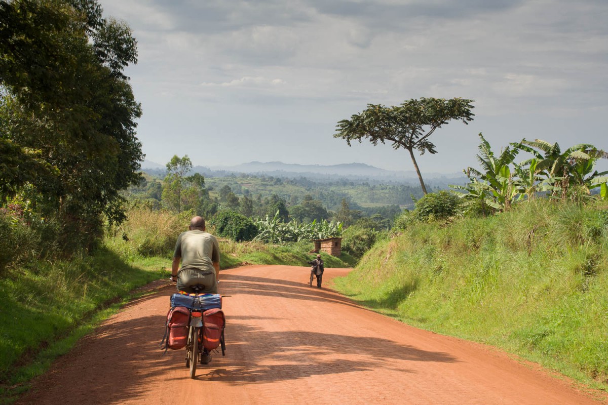
dirt road, Uganda
Any road outside the main network will often be unpaved dirt. This can mean a smooth ride on hard packed dirt, or a bumpy and dusty one. Be aware that after rainfall this ´murram´ roads can become dangerously slippery and boggy in less than an hour.
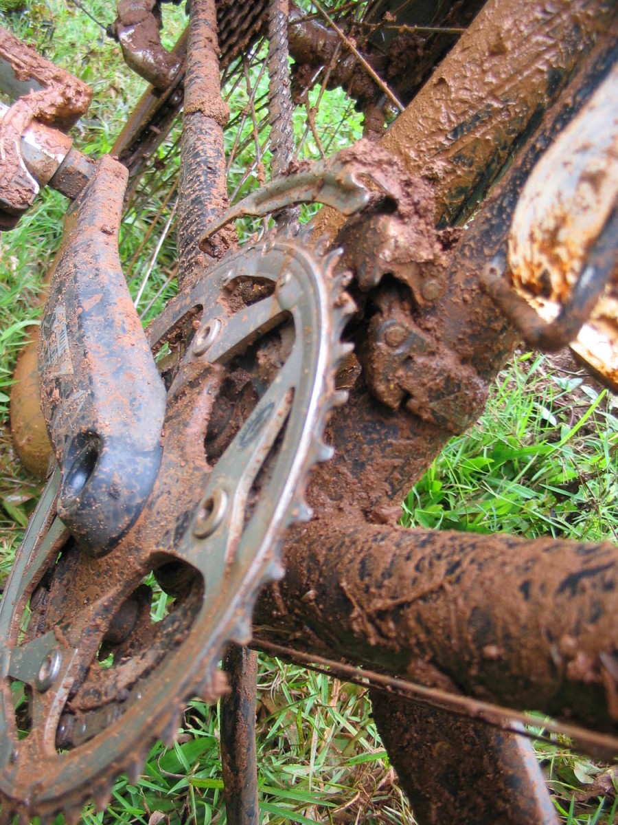
mud, mud, mud after a shower on the dirt road
Trafic was surprisingly low on most of our trip. Watch out for speeding long distance busses and equally speeding taxis. Trucks are generally slow.
Your bicycle
Outside Kampala not much is available to repair a broken bike. To get the essential part you may have to go a long way.
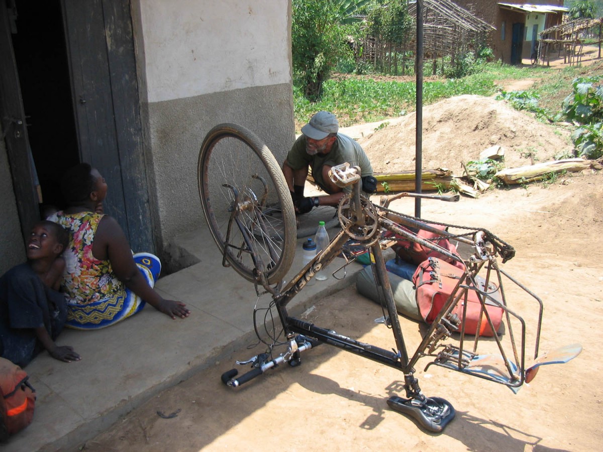
stopping for an urgent repair in a village
Food and drinks
Small villages will have a small shop, selling items like cold drinks, bananas. Bottled drinking water is widely available. Basic meals like matoke (bananas) with rice and/or beans can be purchased at many small eateries.
Larger towns will have supermarkets that sell a wide variation of foods. Most towns will have a few bakeries. Every hotel and guesthouse will have it’s own restaurant. We brought a camping stove but only used it once.
Where to stay?
We were able to find good accommodation in every town we stopped. In small towns the African hotels were good value, clean and with attached bathrooms.
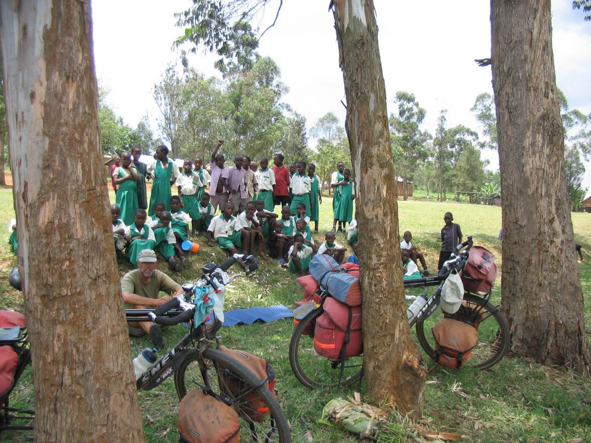
curious kids gathering around the wazungu
The main ´problem´ is that electricity and running water may only be available during the evening. Jerrycans with water seem to be standard equipment in every hotel room.
Out of four, we camped one week. We stayed in campsites in Kibale Forest NP, Lake Nkuruba, Kichwamba, Kalinzu Forest Reserve and at the Lake Mburo NP. Campsites were mostly basic but often beautifully located.
Flora and fauna; wild animals
Some of Uganda´s main roads lead through National Parks. You may see elephants, zebras etc. along the road. The highway south from Fort Portal to Ishaka leads through Queen Elisabeth NP. The Kampala – Fort Portal road crosses the northern section of the Kibale Forest NP.
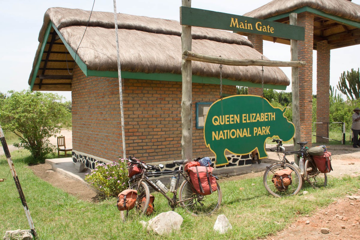
taking a rest at the gate of QE NP
In Queen Elizabeth NP we saw elephants, buffaloes, impala´s etc. ate a very close range. In Lake Mburo NP again we had close encounters with a wide range of game.
Climate and weather
We visited Uganda in September and October. Most of the days it was clear and sunny with temperatures hovering around 30 degrees Celsius. As most of Uganda is at an altitude of 1000 m or higher, the nights are not very hot and humid.
Although the rainy season had not yet started we had several days with very heavy rainfall. The North-East of Uganda was largely flooded in September. After rain dirt roads can become very slippery.
