We cycled approx. 1350 kms in four weeks starting mid October 2018. Where possible we tried to follow the dedicated bicycle routes. Mostly these routes can be found along the coast or following rivers. Flood barrier service roads were another excellent way to get away from the (heavy) traffic.
Text continues below the map…
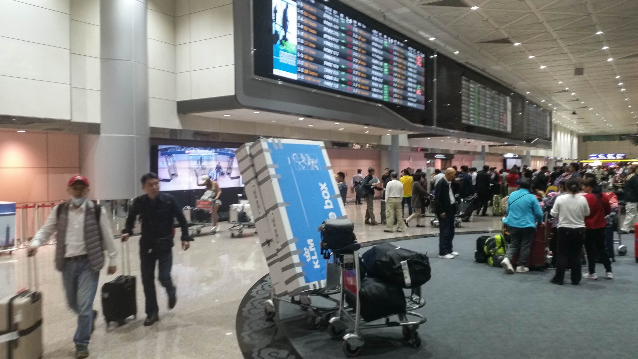
Arriving at Taipei Airport
Usually arriving with two large bicycle boxes and bulky luggage on an international airport means some trouble. Trouble to find a taxi large enough to take all your stuff into town. At Taipei Airport the taxi stand immediately arranged for a larger minibus to town. Good service! There is luggage storage available but it is rather expensive for long term storage.
Please note that your boxed bike will not appear with the normal luggage. Odd sized luggage must be picked up from the basement and we had to go through the ‘To Declare’ gates at customs.
Arrival in Taipei
Taipei – Tamsui (the first miles)
Several rivers flowi through Taipei and all of them are lined with excellent wide bike paths. From our hotel in the Shilin district it was less than 2 kms to the nearest bike path and from there it was good cycling all the way to Tamsui. There are shops, cafes and public toilets (where you can even take your bike inside!) along this bike route. We even saw a stall with bicycle parts. In Tamsui itself things are less pleasant as you will have to cope with many pedestrians and annoying barriers to keep scooters off the bike routes.
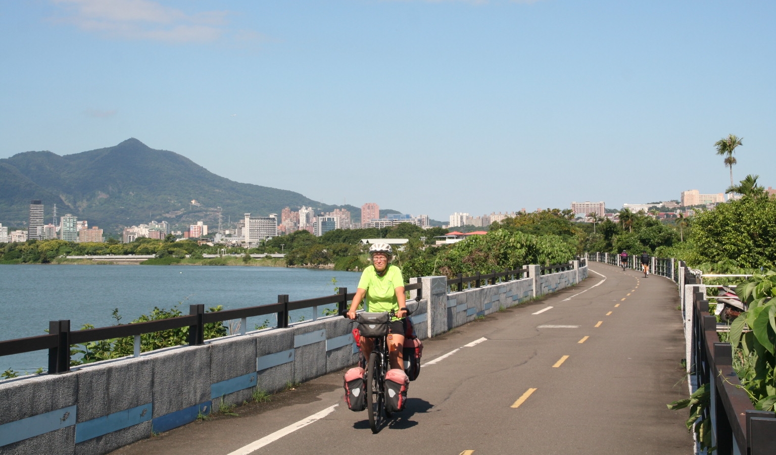
Cycling from Taipei to Tamsui: without seeing any car
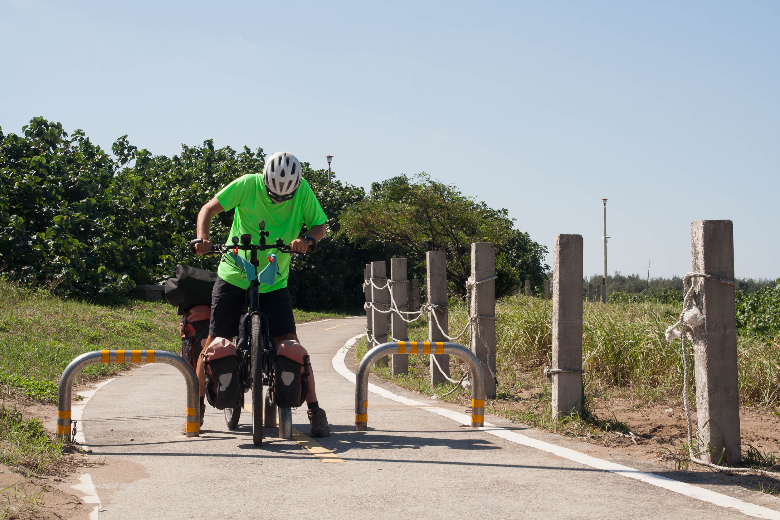
Obstacles to keep motorbikes out are very common 🙁
Tamsui – Yilan
The bike route continues for some distance to the north but at the end cycling on highway 2 cannot be avoided. On a Sunday this road was very busy with only narrow or no shoulders. The next bike route to get away from highway 2 is just north of Fulong Beach and marked on our map (see above) and takes you to the Longmen Campsite where we stayed one night. The bike route continues through the Caoling old railway tunnel (very nice with railway style background music ;-)) but another option is to round the cape on a good bike path. The tunnel is closed for cleaning in the late afternoon.
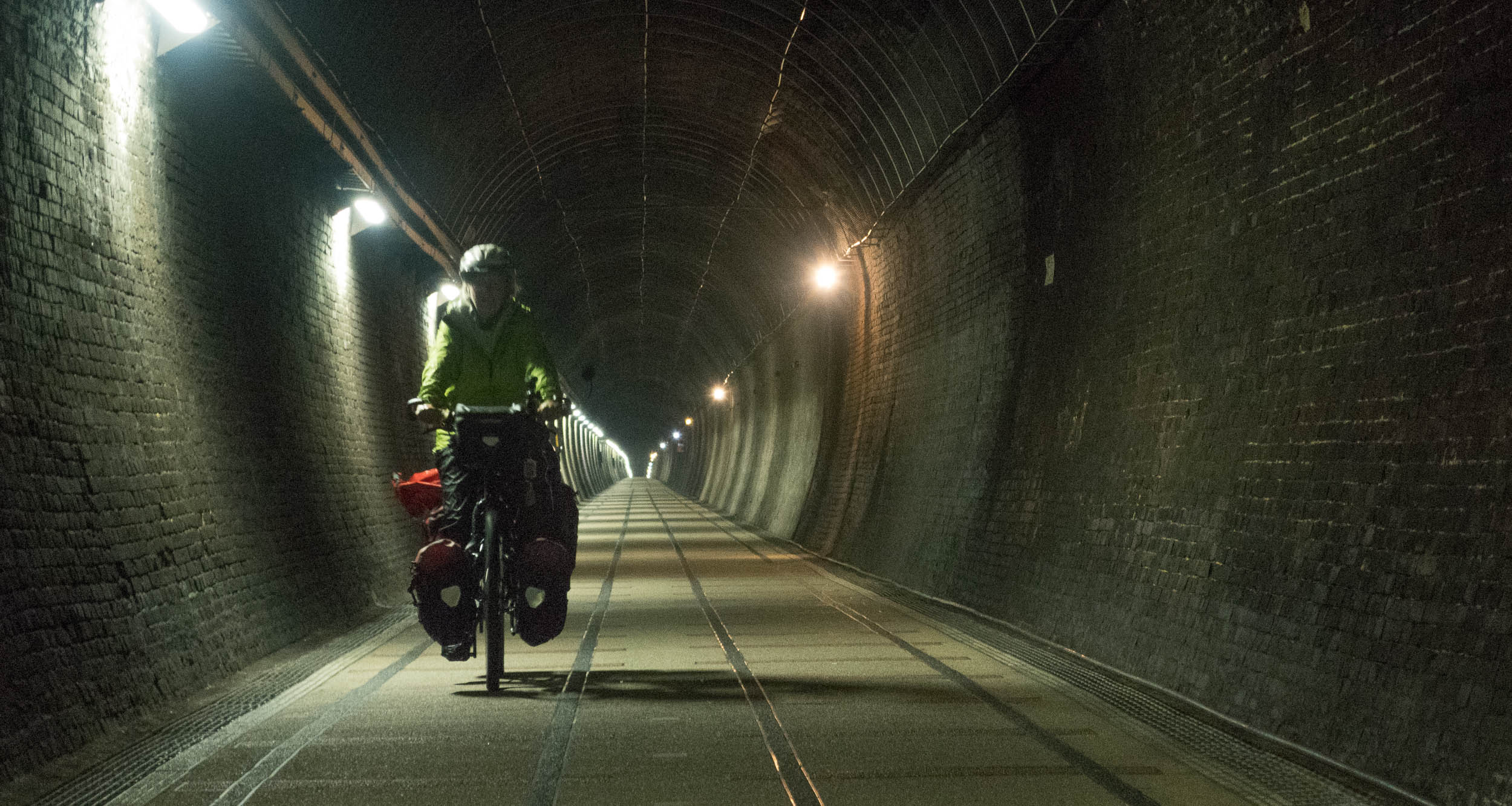
The old Caoling raiway tunnel
At Toucheng there is another possibility to ride on a nice bike path. There are no signposts here (as often is the case) so use our map or the Open Street Map of Taiwan. This smooth paved bike path runs along the coast to the south where it ends south east of Yilan. From this point we continued following unmarked bike lanes to the west on top of flood barriers. Nice riding with some views of the surrounding areas and occasionally shelters to take a break.
Yilan – Lishan and Taroko Gorge
Highway 7 climbs steadily higher and higher. The first day we gained 1000 m of altitude in approx. 45 kilometers. There was not much traffic on this road and trucks are rare. Finding a camping spot was difficult as all the land is used for agriculture.
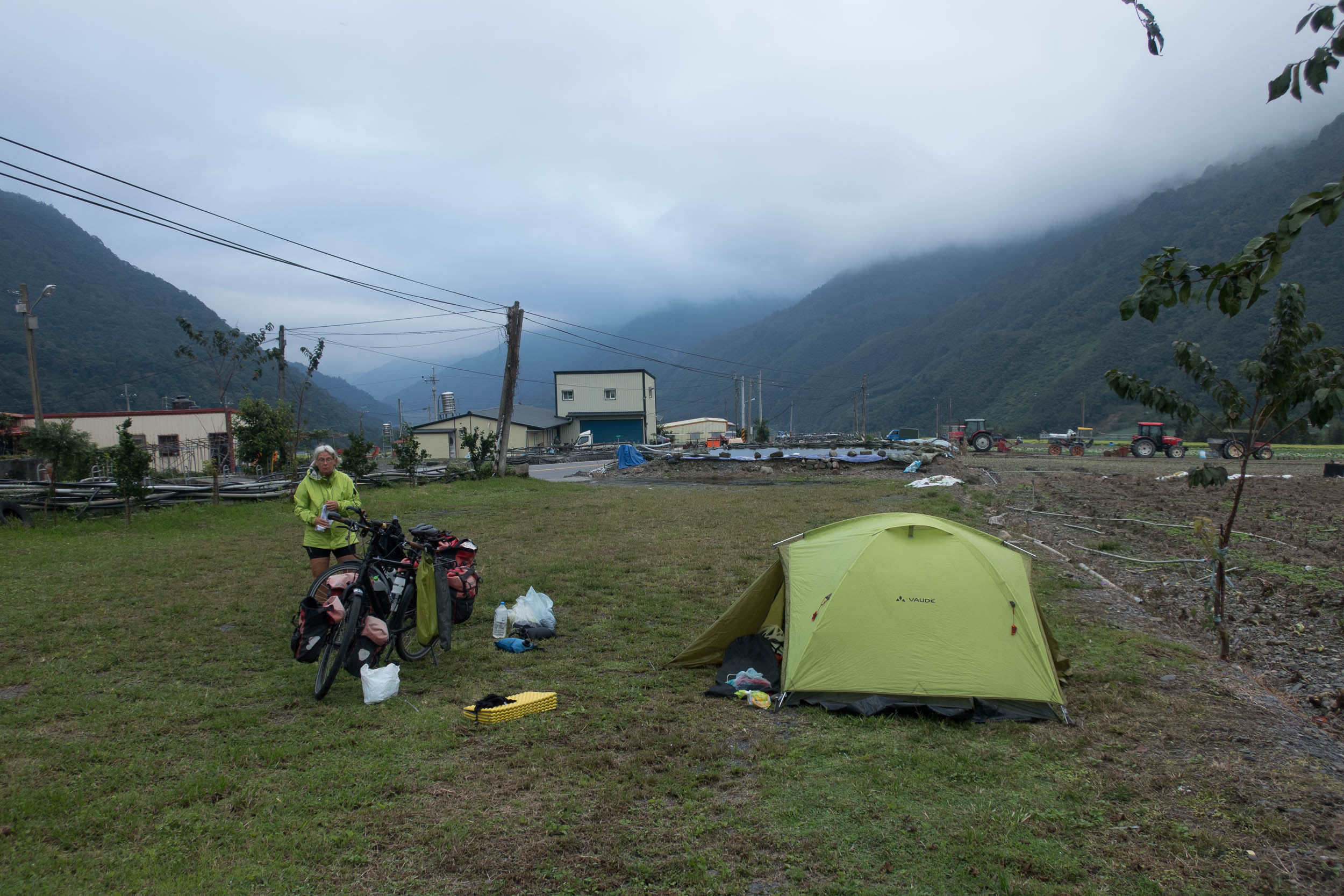
Finding a spot for camping was difficult as all the land here is used for agriculture.
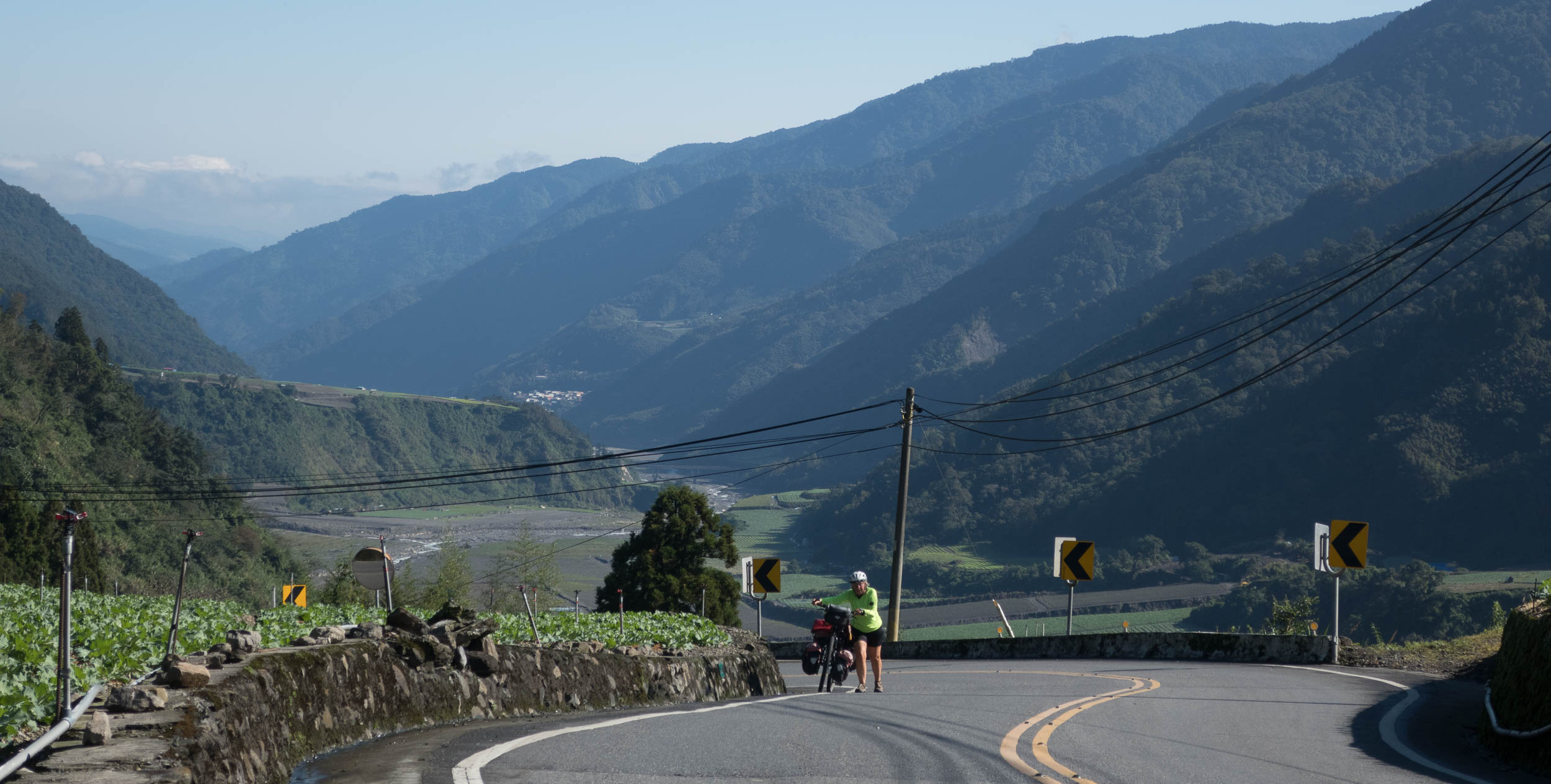
The road is really getting steeper here, we had to walk a few times
At Nanshan we decided to hitch hike to Shei Pai National Park as there was a 1000 m climb in only 15 kilometers ahead, a bit too much for us. People at the local gas station were very helpful and Google Translate proved to be an absolute necessity as not many people speak English. In the back of a small truck we traveled through endless hairpins all the way to the Shei Pa turn-off. The park offers various types of accommodation and also a campsite. The weather here was pleasantly cool and sunny and the autumn colors were starting to appear.
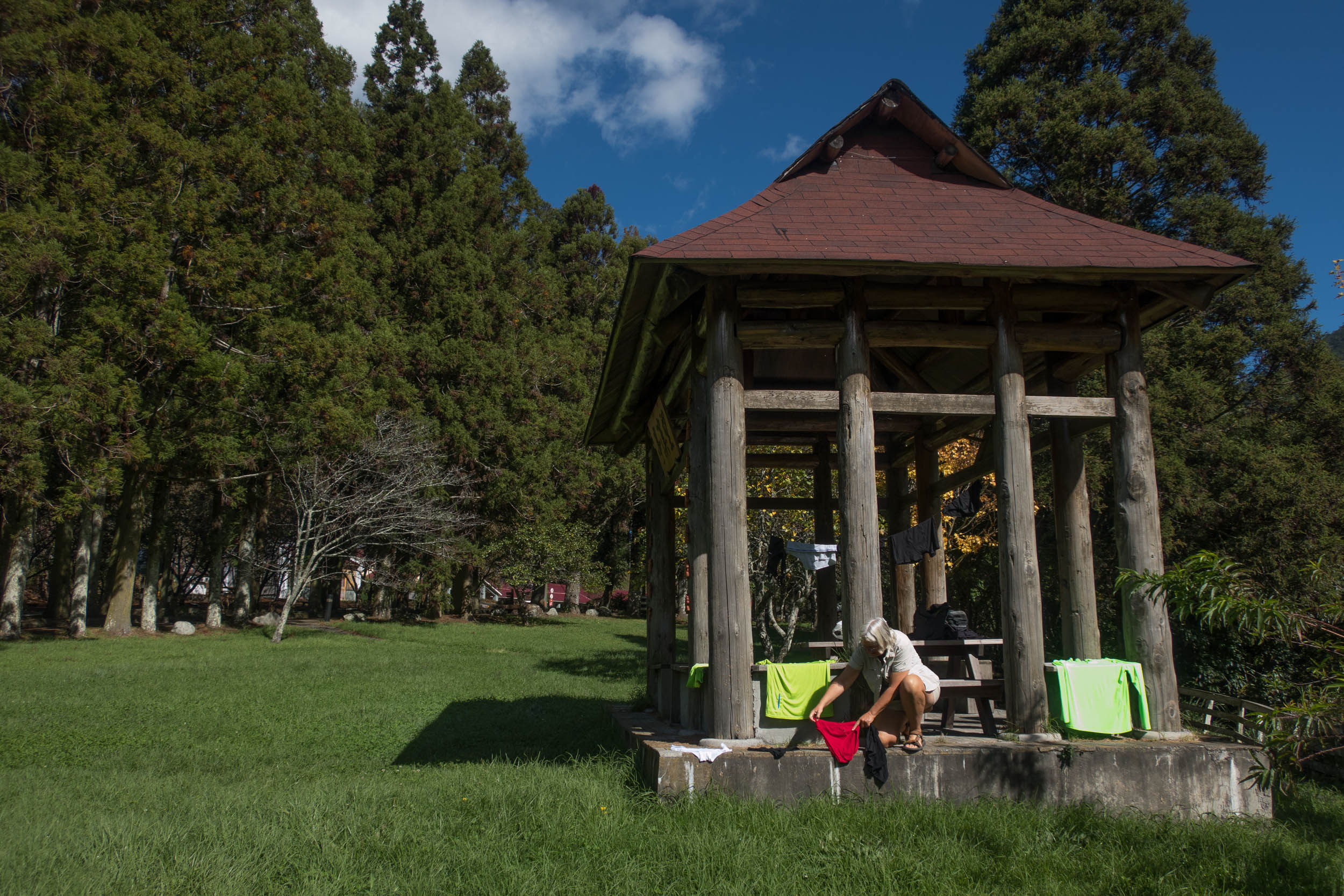
A rest day with washing and drying in Shei Pa NP
From the Wulin junction (jct. to Shei Pa NP) the road climbs gently for another 3 kilometers. A nice descent is followed by another 10 kilometers climb. The road is (very) narrow but the traffic is light. Outside the NP area this is a fruit growing region with apple trees (every apple wrapped individually in a white paper bag) in abundance.
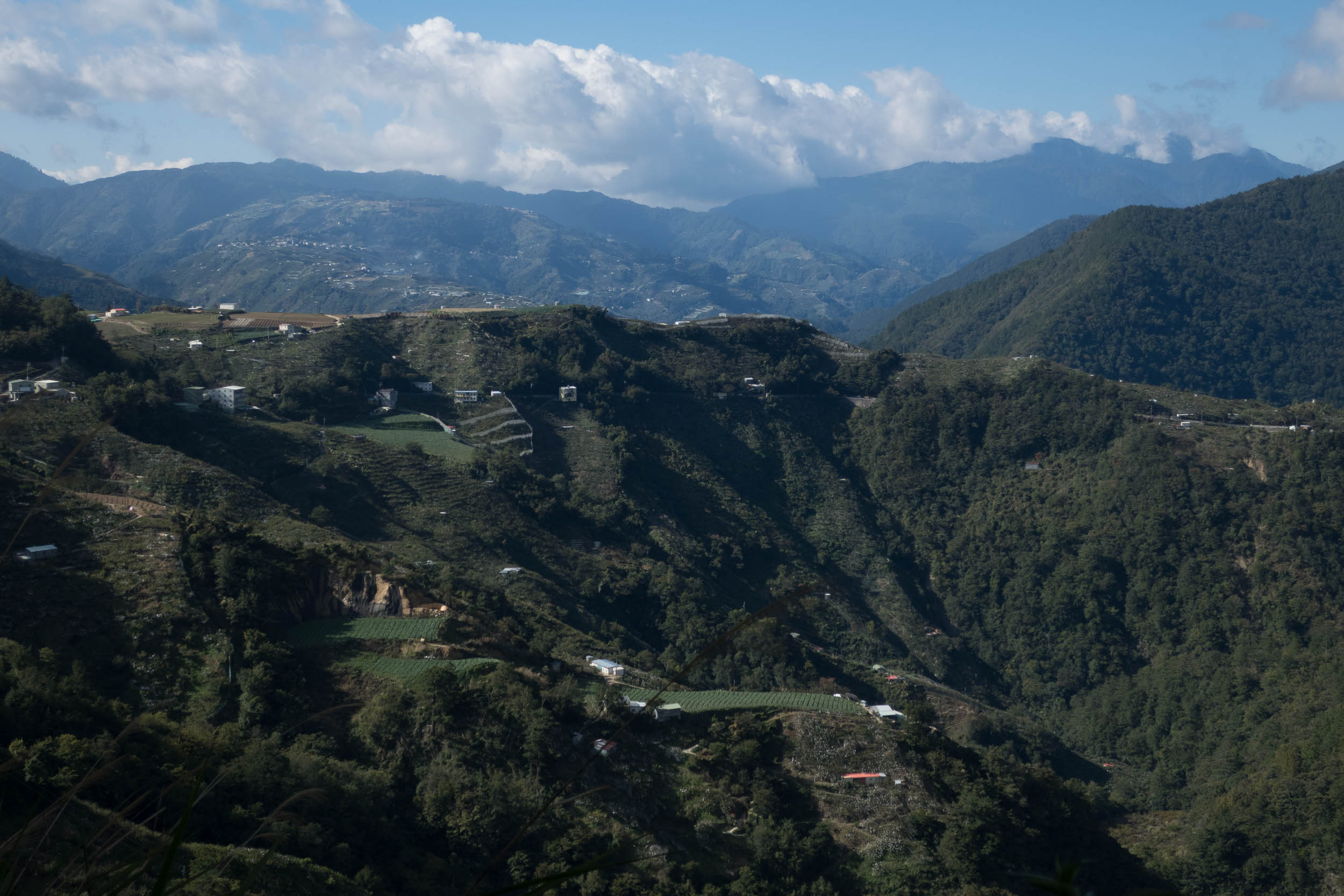
This is an important fruit growing region (mostly apples)
The road to Lishan (hotels and a large fruit market) is easy to cycle. In the weekends Lishan is a very busy little town. After a night in Lishan we started riding to the highest point of our trip: the Dayuling Tunnel at 2600 m. A pleasant and easy ride. There are public toilets and water near the tunnel entrance. This tunnel is unlit and has traffic lights at both sides..
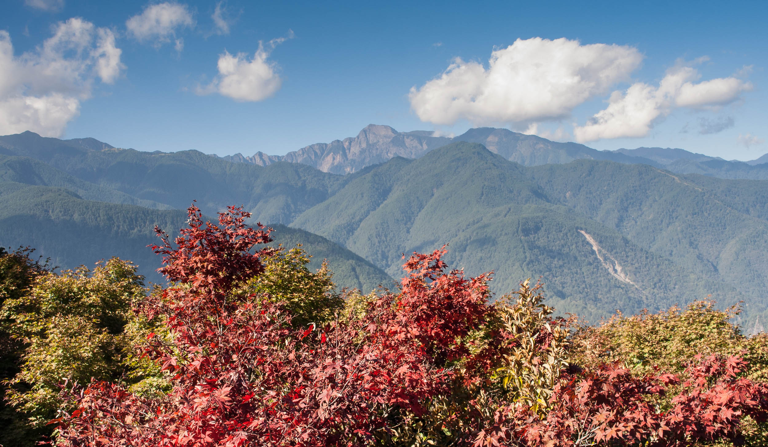
Autumn colors near Lishan
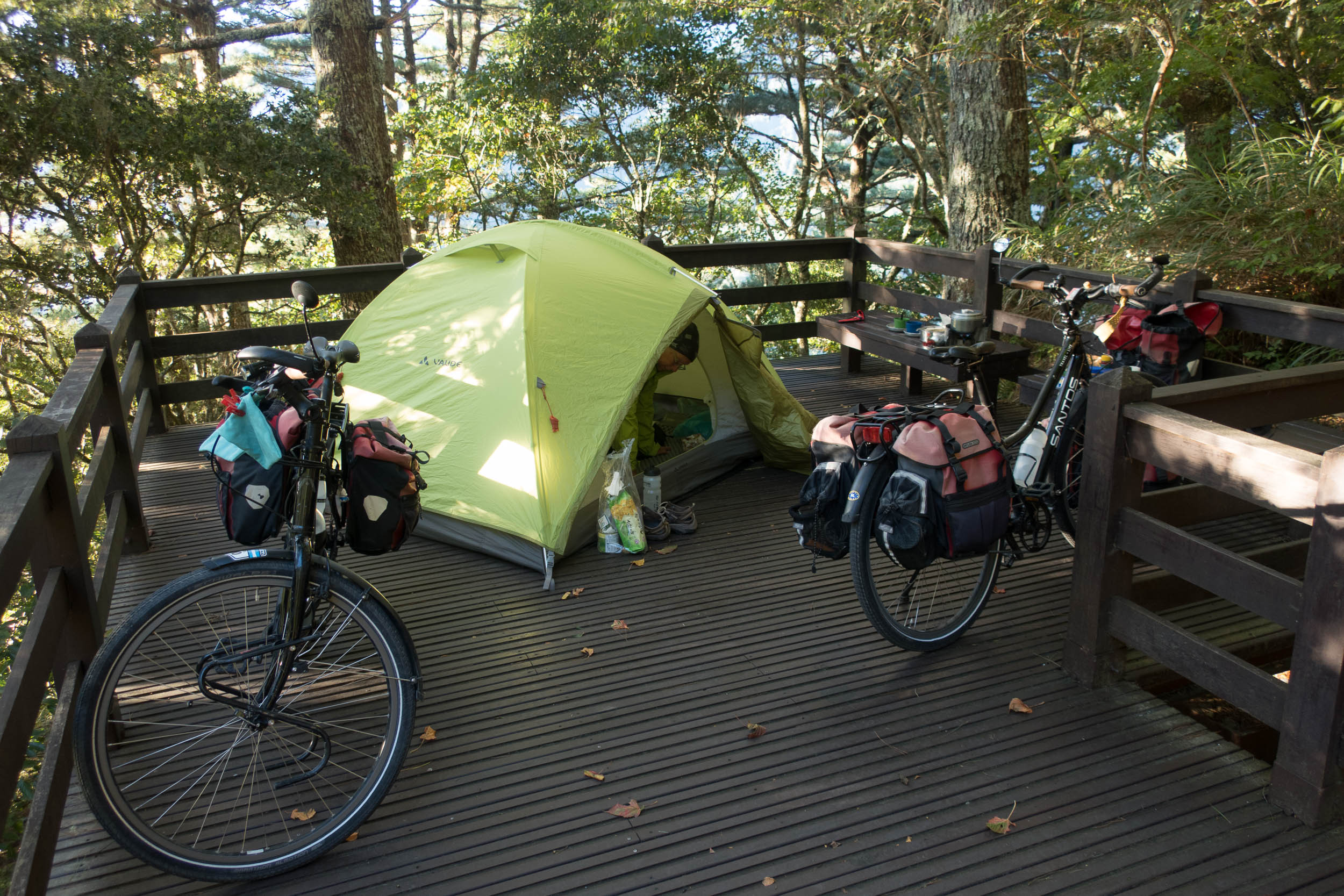
Cool camping in the mountains near the Taroko Gorge
After a good descent we decided to camp near one of the many tunnels in the way down to the Taroko Gorge. There were public toilets and drinking water. At almost 2000 m the night was rather chilly in our tent and ‘summer’ sleeping bags. There are several spots with public toilets along this road that may be suitable for an overnight camp.
The next day it was down all the way. The road is (very) narrow and there are mirrors on every corner to spot oncoming traffic. Most tunnels are short. The views are great and traffic is light. Once you enter the Taroko Gorge area traffic increases dramatically including many tour buses. We were not very impressed by the gorge itself. There are countless (very) long (wide and lit) tunnels here so you do not see much of the gorge.
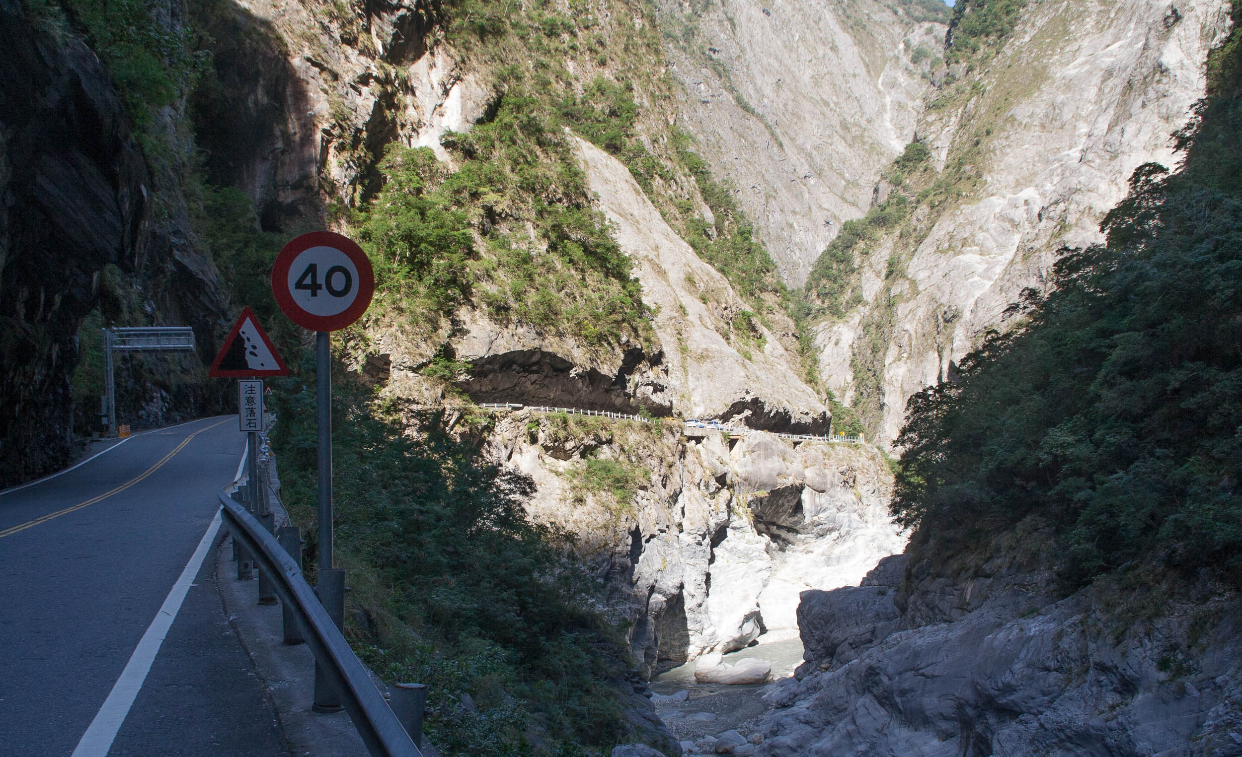
Typical section of the Taroko Gorge NP road
Taroko Gorge – Checheng (south-west coast)
After busy Hualien we followed highway 11 and 9 for some time. These highways are wide (at least two lanes) and have a separate scooter- bicycle lane. Cycling is relaxed and traffic is light at this side of the country. We made a ‘detour’ following the even quieter road 193. There is an enormous cemetery along this road with graves stretching out for many kilometers.
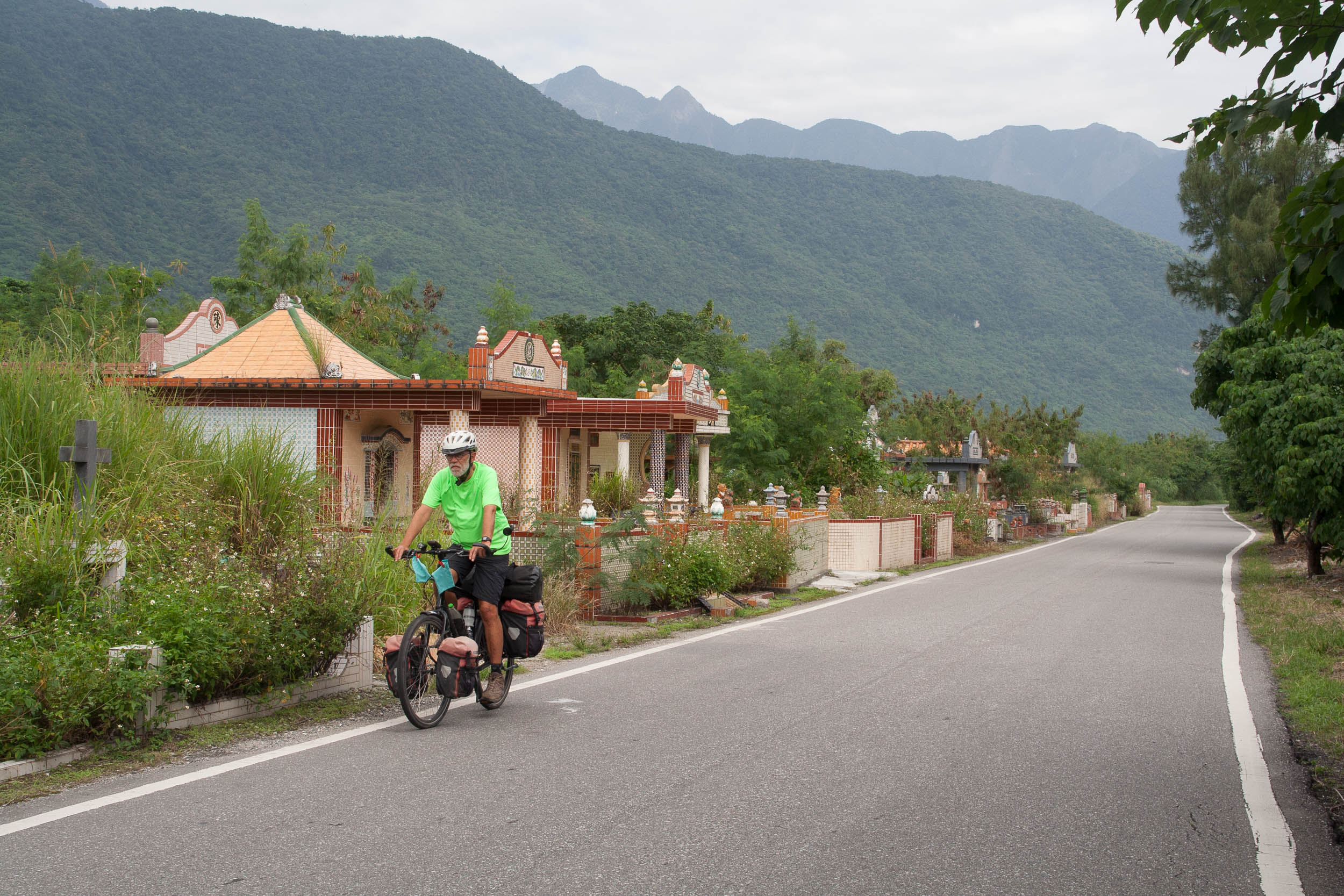
graves stretching out for many kilometers along highway 193
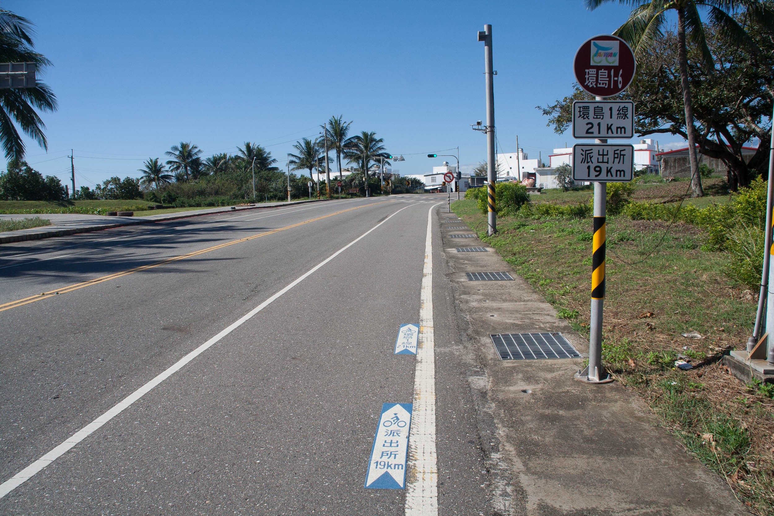
Much effort has been spent on cycling route sign posting. This is bike route 1
At Ruisui we crossed the mountains (a moderate climb) to coastal highway 11. More and more hotels and b&b’s will start to appear. Donghe and Dulan are small surf villages with plenty of cafes and hostels. Untill Taitung the cycling is pleasant but south of this big city the road becomes increasingly busy. In 2018 there also were extensive road works.
Finally highway 9 starts to climb to cross to the west coast of Taiwan. At 500 meter altitude is the famous Soukia Biker Rest Stop. For Taiwanese cyclists this is an iconic point as it marks the highest point of the famous number 1 around Taiwan bike route. At the Biker Rest Stop are toilets here and a good chance to meet other cyclists.
There are some nice views on the road down to Checheng
We choose to cycle the narrow and very scenic road 199. Nice views of the distant coasts and hardly any traffic. This road will bring you to another world: the densely populated west coast of the island.
Checheng – Tainan
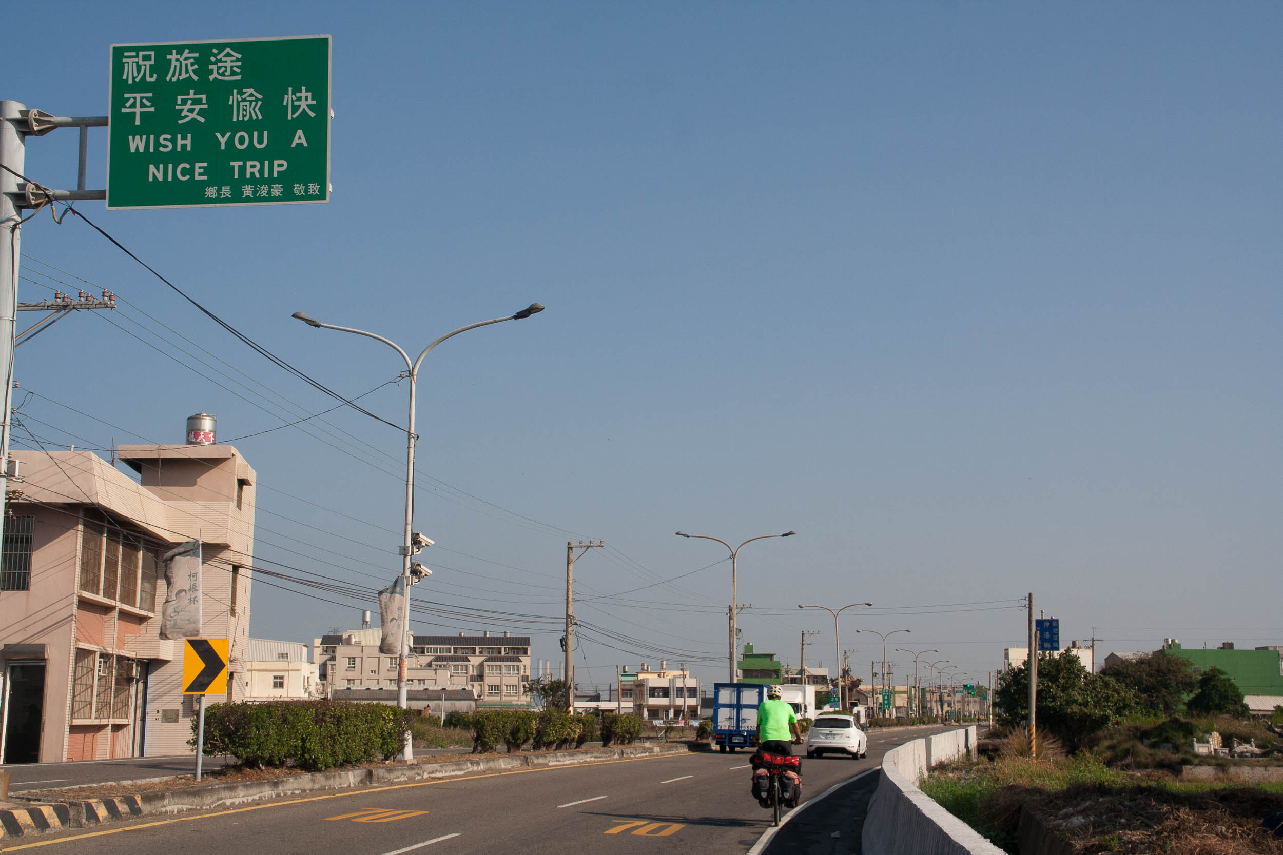
The west coast roads are busy and are lined with thousands of traffic lights that will make you stop every five minutes or so ;-). The traffic noise can be heavy and the air pollution by traffic and industries less than pleasant. Despite this there are some nice bike routes to find and some great places to visit at this side of the country.
On busy roads we cycled north to Pingtung. We wanted both to avoid Kaosiung and to visit the famous Buddhist monastery Fo Guang Shan. West of Pingtung is the Pingtung Riverside Park that marks the start of an excellent bike route north along the river, partially following flood barrier service roads.There is limited sign posting here, a good map is a must the follow this route.
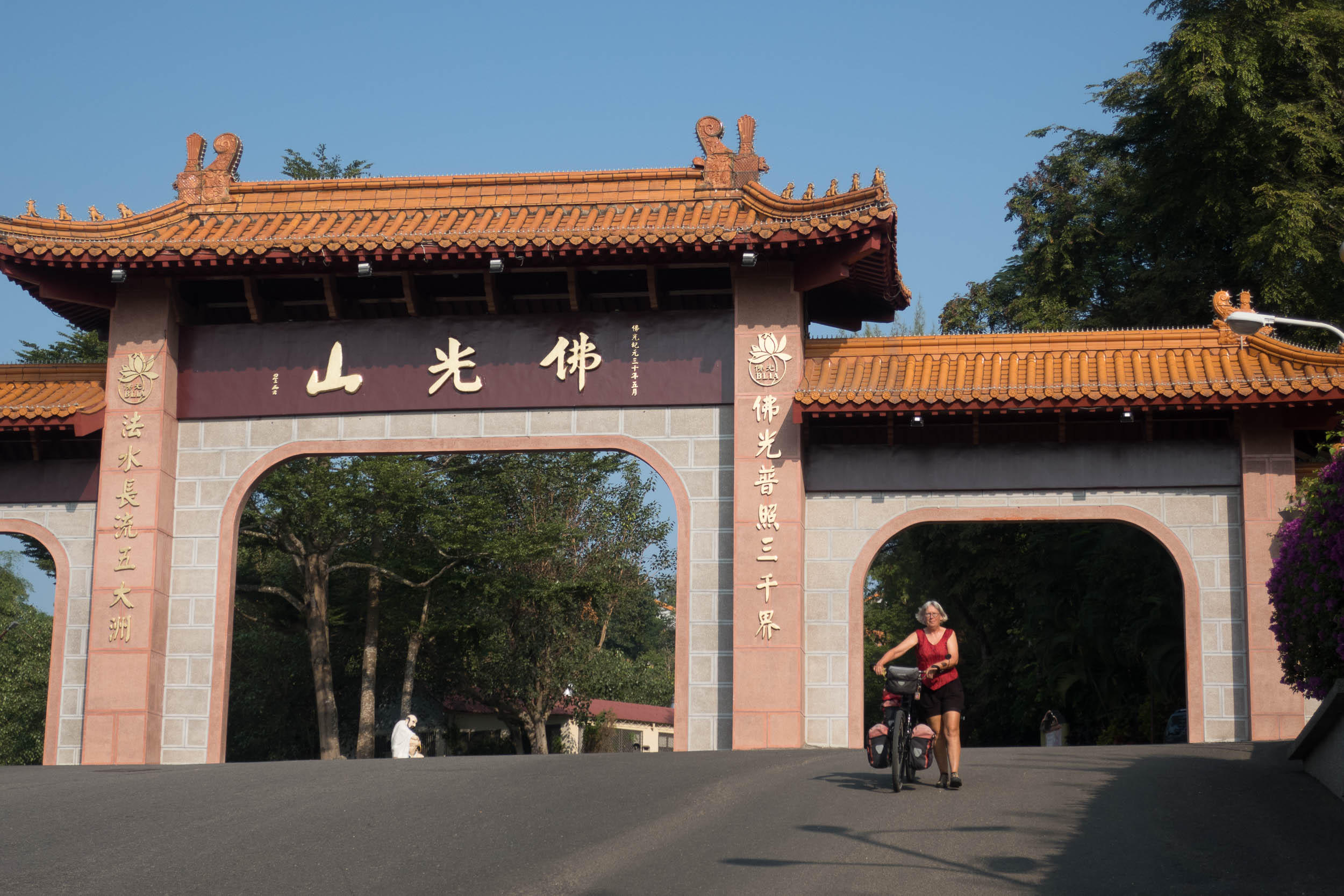
Bicycles are not allowed to enter the Fo Guang Shan monastery area (park outside) unless you are staying in the monastery hotel (as we did).
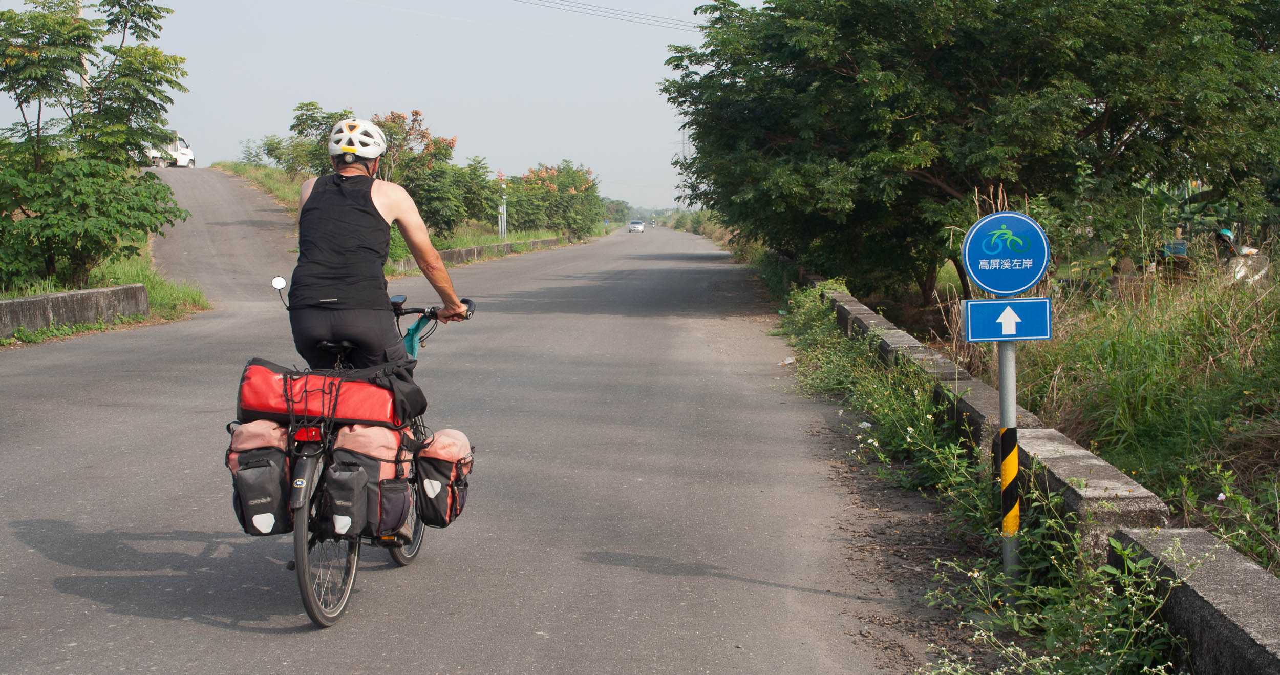
Flood barrier service roads are perfect for cycling (west of Pingtung)
On small farm roads we rode to Meigong and then west to Tainan. South of Tainan a bike route and boulevard starts that is excellent for cycling north along the coast. The temples of Tainan are really worth a visit.
Tainan – Taipei
Just north of Tainan is another good bike route going in a north eastern direction for at least 30 kilometers. This route is perfect to avoid highway 1. Highway 1 is the road cyclists are supposed to take when riding the official nr. 1 bike route.
Further north it’s difficult to avoid the busy provincial highways and also making some progress. We followed the expressway for some time (on the service roads) and found that convenient but very boring and noisy.
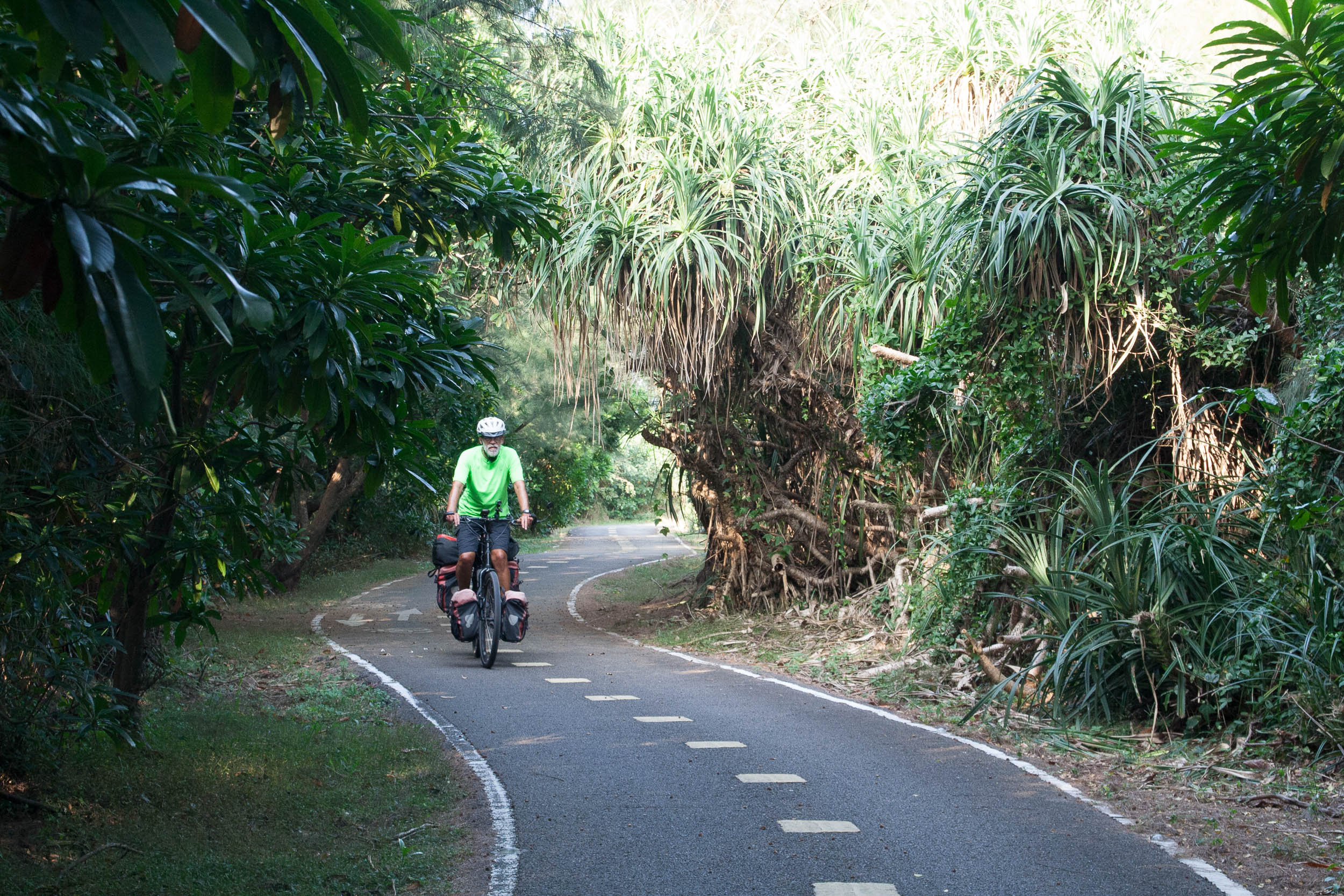
North of Houlong starts a series of more or less interconnected bike ways roughly following the coastline. These are the Miaoli Bike Way, the Green Breeze Ocean Bikeway and the Tayouan Seashore Bikeway. Each of these bike ways is approx. 20 kilometers long. Navigating along these bike routes requires constant attention as navigation is not always very obvious. Bike paths also end suddenly. Despite these drawbacks these three bike ways are very nice alternatives for the expressway and other busy main roads.
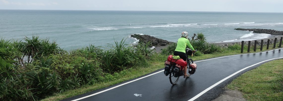
Typical west coast cycling scenery
Some nice cycling on bike routes
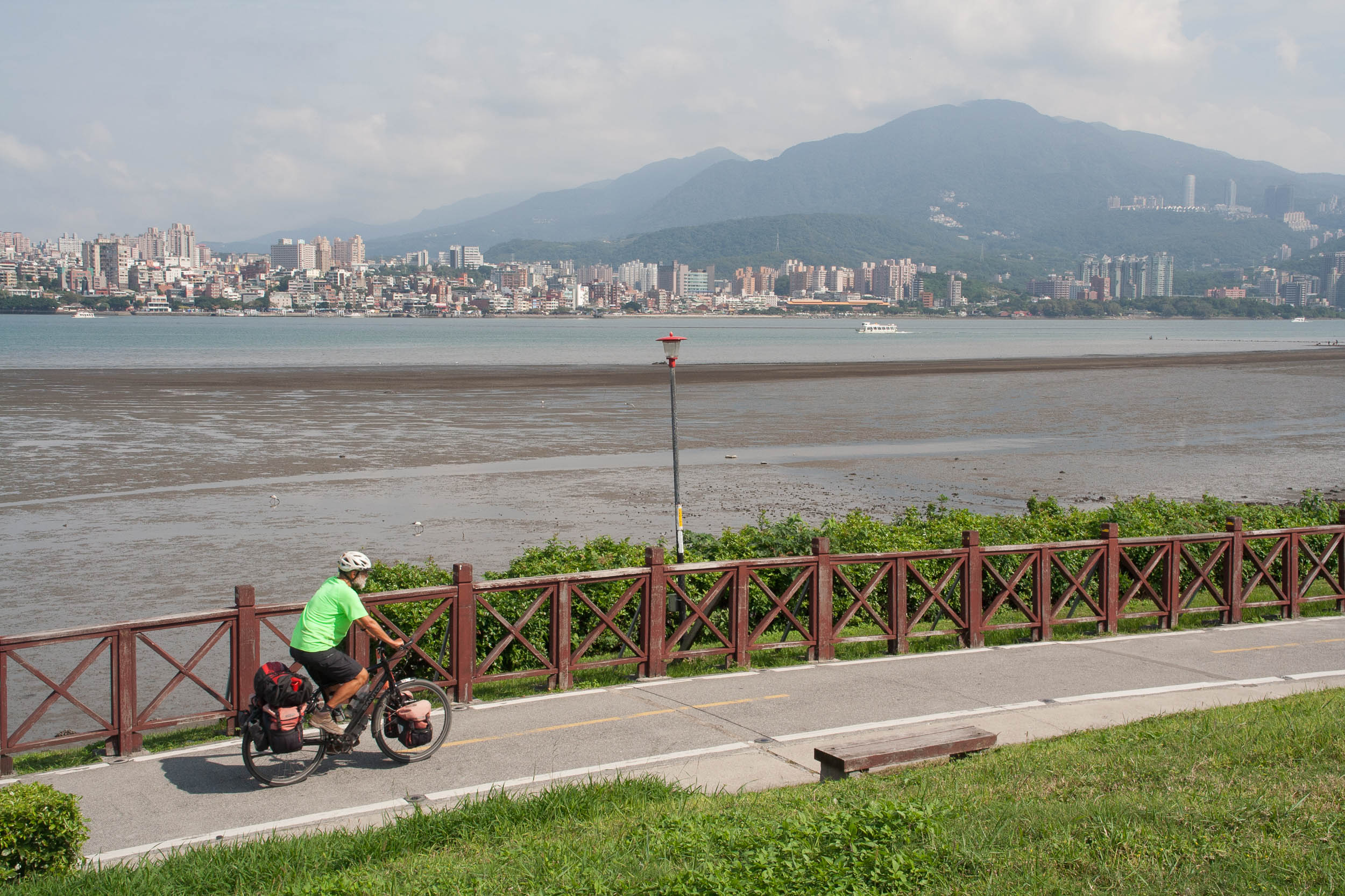
Cycling opposite Tamsui
Another shorter bike way leads into Bali, a town located opposite Tamsui. A small ferry operates between Bali and Tamsui all day every 20 minutes. Bicycles can be taken and cost 23 TWD. The ticket office is near the jetty, ask someone as it’s hard to find without knowledge of Chinese. At Tamsui we rode the same bike route back to Taipei on which we had started.
