Is it safe?
Although there are many warnings regarding a visit to Nairobi, the parts of the country we visited are safe. People were friendly and helpfull. But not all of Kenya is safe to visit.
Maps; getting around
The Kenya map by Nelles Maps is a reasonable overall map of the country with relief shading. The map gives road numbers and distances but both were often less than accurate.
Along most main roads exists some form of signposting. Signposting on secondary roads is non existent; you may have to ask for directions more than once.
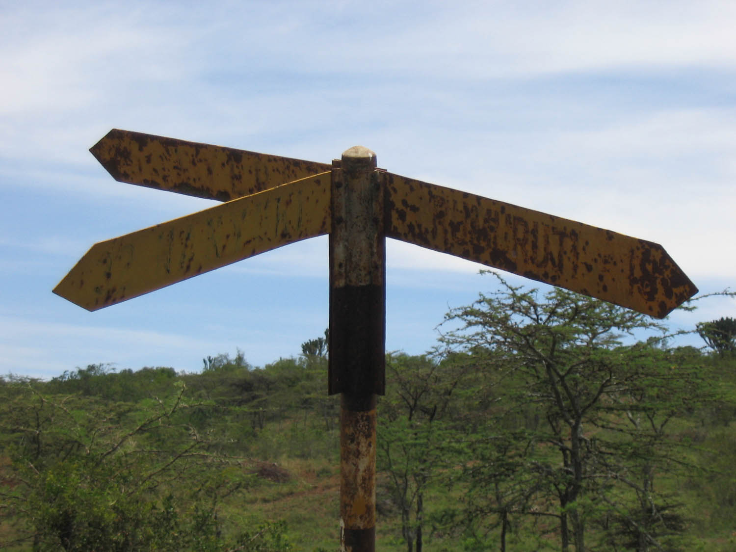
one of those rare occasions of good signposting 😉
Books
We used the well-known Lonely Planet travel guide for general travel information. Get an up-to-date edition before you leave.
In 1992 Kathleen Bennett wrote a book about cycling in Kenya. “A paradise and a great place to travel. The most stable African country and a much sought after destination for independant travelers. Wildlife, gentle people and excellent 😉 infrastructure make this one of the best places in the world for bicycle touring…”.
ISBN # 0-933201-42-7
Kenya on the WWW
We searched the web for useful (bike) sites and found these.
- 15 Myths of Bicycling and Travel in Africa (eng)
- Kenya: Cycling Safari (eng)
- Detailed tourreport of a 2005 trip similar to ours by Fred Ferchaux (fr)
- Kenya: Bicycle Tour Travel Guide (eng)
- Kenya: Bicycle Tour Travel Guide on the iBike site (eng)
- Interesting 2005 report on a trip on local bikes ; “…In all on the first day we had a pedal fall off, crank fall off thrice, carrier fall off 4 times, mud guard fall off twice, light fall off, gears lost, both our baskets broken but amazingly no punctures…”
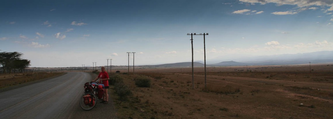
Roads and Traffic
The main highways are paved. But these main roads tend to be very busy, full with trucks, speeding busses and cars. Kenya also has many secondary roads. Most of these are quiet but unpaved, narrow, dusty and bumpy.
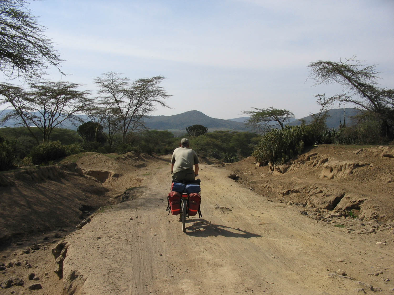
the rough road to Crater Lake (Lake Naivasha)
On the route we traveled we advise you to avoid the main Nakuru – Naivasha – Nairobi highway. A reconstruction is underway but will take a few years (at least until 2008) to complete. See our route page for more details.
Of all traffic, private cars and mini-busses (matatus) are most dangerous. Watch out.
Kenya doesn’t seem to be a popular biking destination. We met one other cyclist.
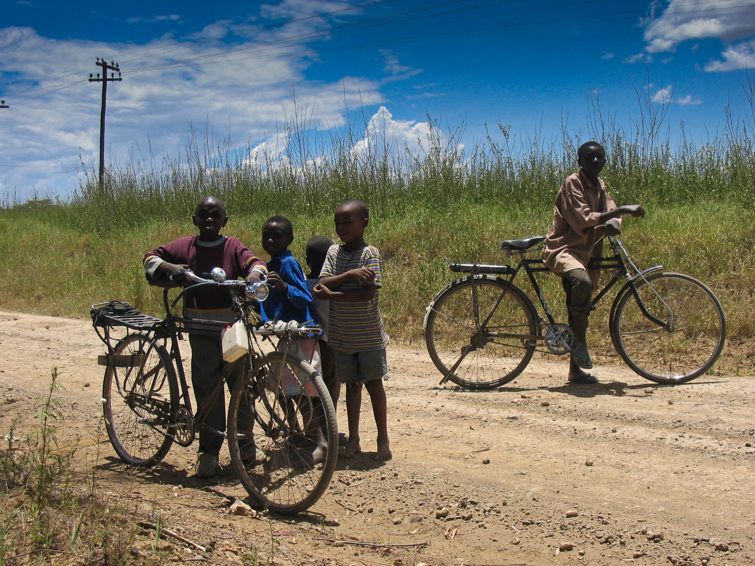
cycling is popular with the locals
Most roads do not have a shoulder (small strip on both sides separated by a line). Traffic is on the left hand side of the road.
Your bicycle
Outside major towns not much is available to repair a broken bike. To get the essential part you may have to go a long way. See our interactive checklist for some advice on what to bring. Or try our Bicycle Dictionary to translate bike-related words to and from many languages.
Food and drinks
Even the smallest village will have a few minuscule shops selling items like cold drinks (called sodas), bananas, bread etc. In most villages bottled drinking water is for sale. Every hotel and guesthouse will have it’s own restaurant.
Climate and weather
We visited Kenya from September 19th to October 16th. This is the period just before the short rainy season.
Most of the days it was partly cloudy with temperatures hovering around 30 degrees Celsius. Nights were pleasantly cool in the higher areas. We experienced sporadic short showers. By the end of our trip rain was more frequent.
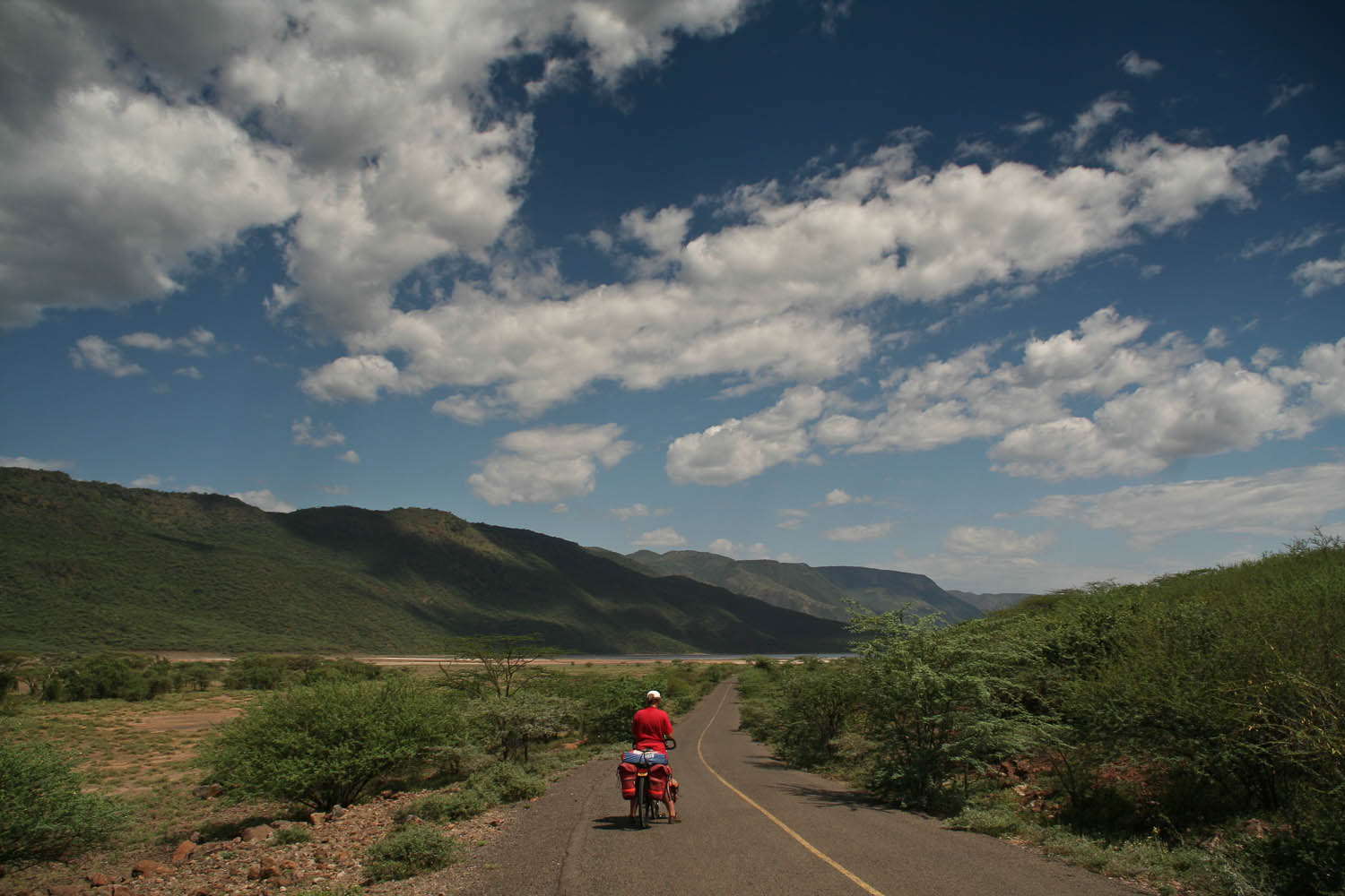
a sunny day near Lake Bogoria
Flora and fauna; wild animals
Some of Kenya’s main roads lead through or near National Parks. You may see elephants, zebras’, giraffes etc. along the road. Monkey’s and numerous species of brightly coloured birds can often be spotted.
In the Lake Naivasha area we some numerous giraffes near the public road. We had a “close” encounter with elephants on the Nanyuki – Nyahururu road.
Where to stay
We were able to find good accommodation in every town we stopped. Almost our entire trip could be done camping.
Not all cheap places may have (good) mosquito nets; we brought a lightweight one and used it a couple of times.
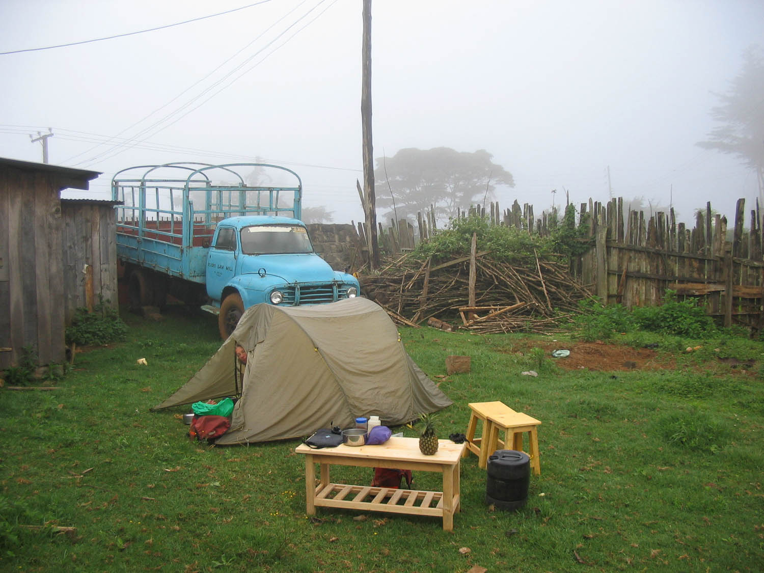
free camping at the Muoro sawmill in Gakoe or…
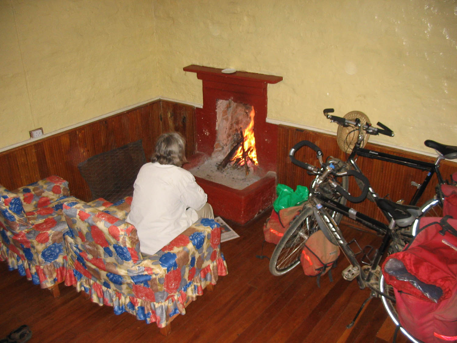
…enjoying luxury accommodation at the Naro Moru River Lodge
