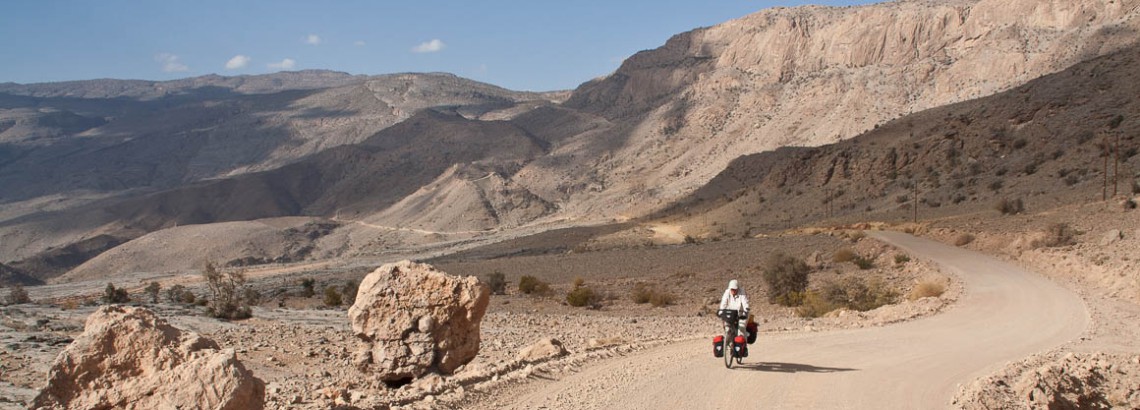
In October and November 2009 we cycled in Oman. The trip took four weeks to complete. The total distance cycled was around 1200 kms.
We started and ended our trip in Muscat. First following the coast to Sur, travelling south and then west again to the Wahiba Sands area and Nizwa. We climbed the road up Oman´s highest mountain, Jebel Shams, and crossed to Wadi Bani Awf. Via Rustaq and Nakhl we finally reached Muscat again.
View our route on Google Maps or download it as kmz Google Earth file: Cycling route in Oman in 2009
Muscat – Wadi Twi
Once you leave the hustle and bustle of Muscat behind the traffic quickly thins out. A new dual carriage way with a wide shoulder leads to Sur. In November 2009 a lot of construction work was still going with numerous diversions and some narrower sections. You’ll pass several petrol stations and a few shops on the first leg to Quriyat.
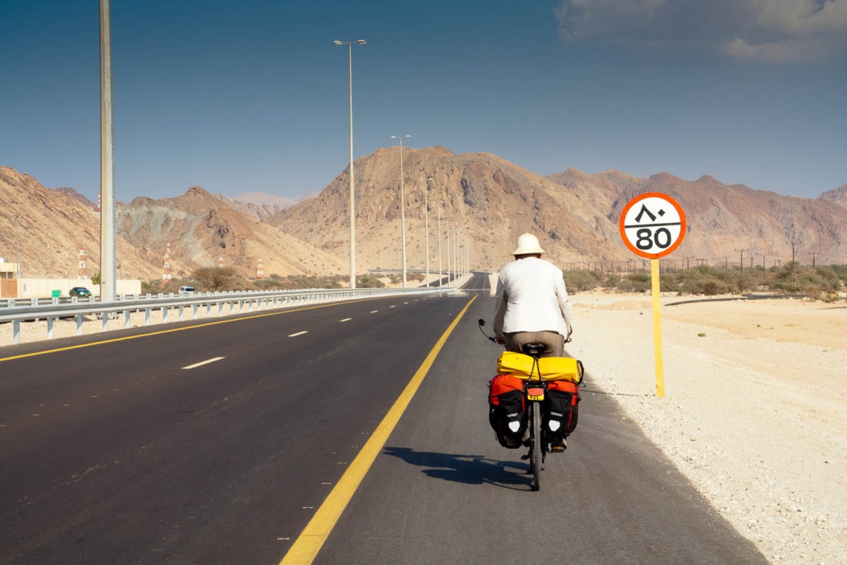
the new dual carriage way
Just before Quriyat is a steep climb, but the newer road (under construction) will probably have easier grades. Quriyat has shops, several petrol stations selling water and snacks. At the entrance of town is a small park to rest your legs in the shade.
The dual carriage way continued just outside Quriyat and again there is a steep section before the road finally descends to sea level at Dibab.
At Dibab cold drinking water is available at the sinkhole just outside town. There are toilets as well. It’s nice to follow the old paved road along the sea shore here. Oman’s famous white beaches start approx 4 kms before the village of Fins and offer a nice spot for free camping.
About 7 kms beyond Fins (shops and a bakery) the old now unpaved road ends abruptly and you’ll have to continue on the main highway.
The turnoff to Wadi Shab and Wadi Tiwi is clearly signposted. At the T-junction to Wadi Shab are toilets and a cold water machine. Park your bike and enjoy a walk into the wadi.
A few kms south follows the not very obvious turn-off to Wadi Tiwi. The main road into the wadi was very much under construction and may be paved in the near future.
To continue further south you’ll have to get back on the new highway; much of the old sea shore road has disappeared now.
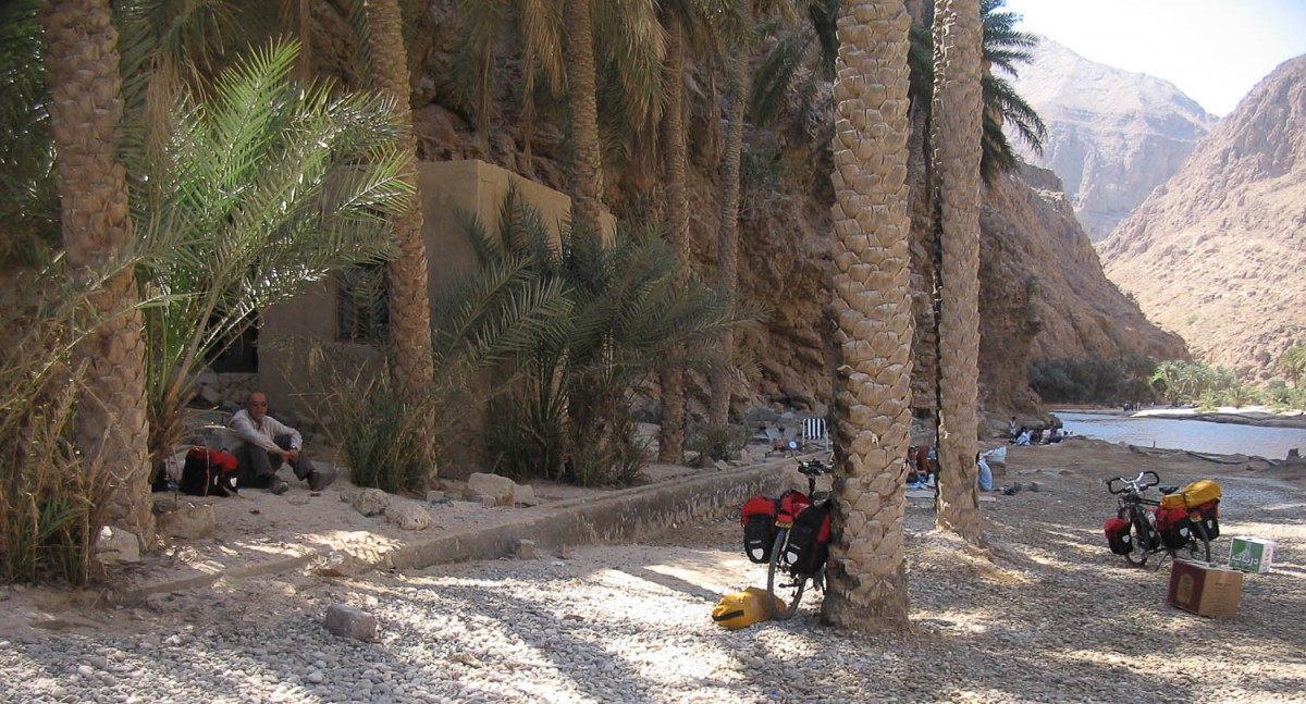
lunch stop at Wadi Shab
Wadi Tiwi – Sur
Our next stop was Qalhat to visit the archeological site, signposted as the “Ancient city of Qalhat”. The remains of the old coast road pass by this site. There is not much to see, apart from the crumbling remains of an old mosque. This road is a dead end now. We managed to get back on the main highway by crossing underneath it using the huge rain drainage pipes.
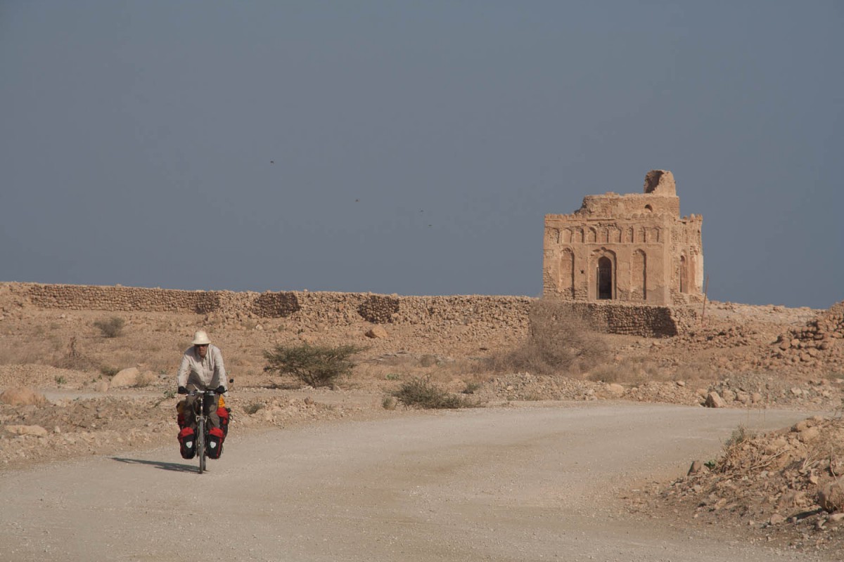
ruins of Bayt Mariam
When you see the huge LG gas plant at the horizon, Sur is coming up. Sur has all services including at least two hotels.
Finding a good camping spot on this section wasn’t easy. The coast beyond Wadi Tiwi is either steep and rocky or has beaches that are covered with large pebbles.
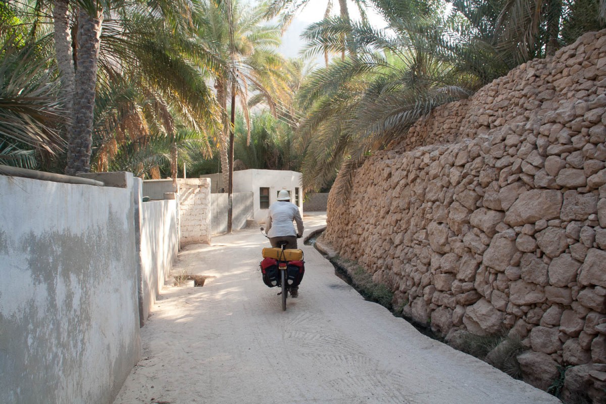
Wadi Tiwi village road
Sur – Ras Al Jinz – Wahiba Sands
For travellers in the direction of Ras Al Had en Ras Al Jinz, a new bridge crosses the bay and avoids the 10 kms detour around it. The road to Ras Al Jinz is new and wide with light traffic. At The T-junction (left to Ras Al Had, right to Ras Al Jinz) we found a water tank.
Continue 5 kms south to the Ras Al Jinz turn off. After another 5 kms a monstrous building will appear on the horizon. No, its not a powerplant nor a prison. ‘This is the new hotel and visitors centre. The VC is not yet open; the hotel has 10 rooms (overpriced at 70 OR) and bunkbeds and an equally overpriced restaurant. Many people seem to camp on the gravel plains just in front of the hotel.
Back on the main road we continued south to Asaylah. The road is excellent and traffic light. Plenty of small towns here to stop for a meal or a cold drink. The white beaches offer a good place to camp.
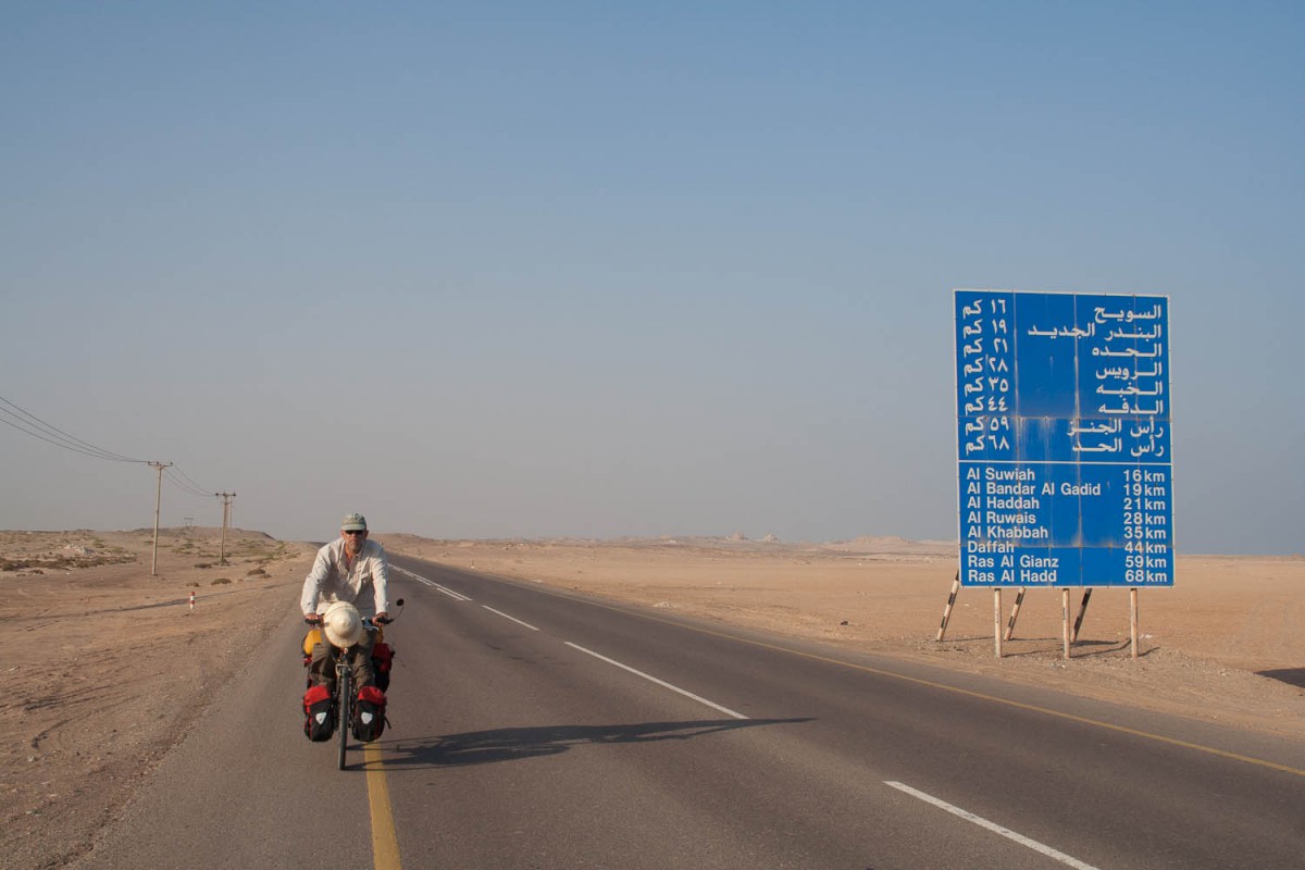
along the coast south of Ras-al-Jinz
At Asaylah we turned west towards the towns of Jaalan Bani Bu Ali and Jaalan Bani Bu Hassan. Although the famous desert area of the Wahiba Sands is still miles away, sand dunes can already be seen next to the road. Both towns offer plenty of shops, petrol stations and a few supermarkets. At the south side of Jaalan Bani Bu Al is a hotel (near Shell), a tower at the northern side of JBB Hassan offers a shady place to escape from the heat.
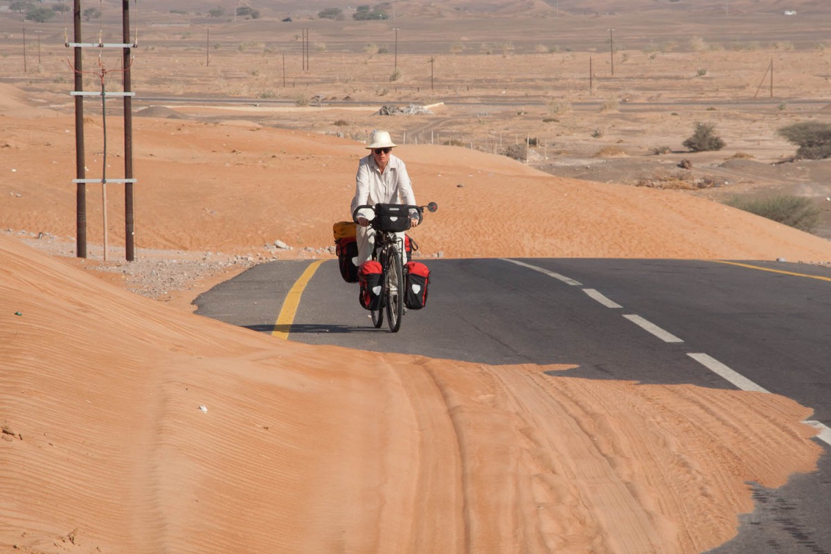
sand dunes on the road
The whole section until Al Kamil is in fact one continuous town.
40 kms west is the junction to Wadi Bani Khalid. The Oriental Nights Guesthouse (rooms and restaurant) is located on the junction and a convenient and pleasant place to stop. Another 15 kms further is Al Mudayrib, the gateway to the Wahiba sands. The main junction (not very well signposted) is at the Shell petrol station. Opposite is the well stocked Royal Shopping Centre Supermarket.
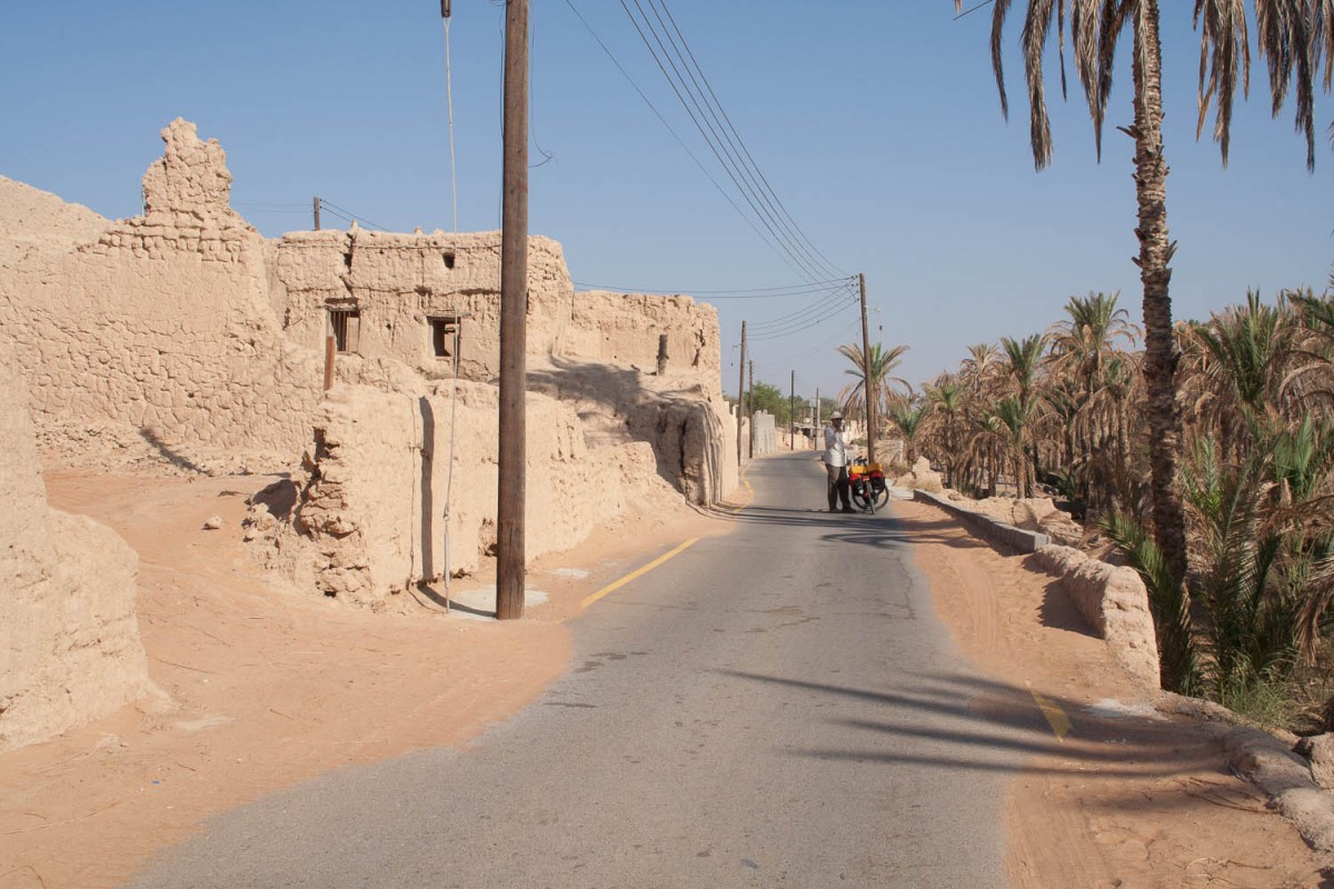
Al Hamiya
The roads leading into the sands are all paved until you get to the real desert. We made a trip to the village of Al Hawiya which is completely surrounded by the sand dunes. This village is only approx. 7 kms from the main road.
Further along the main road is the village of Al Qabil where the Al Qabil Resthouse offers adequate accommodation at the northern side of town.
Wahiba Sands – Nizwa
The route we followed was leading us through a rather empty and barren part of the country. Few villages and only very light traffic. Free camping is a must here. The town of Ibra seems to offer some accommodation. We passed a few small mosques, so our water supply was never a problem.
The final 25 kms to Nizwa we followed the dual carriage way. All hotels in Nizwa are located at the southern side of town. Although this is one of the largest towns in the country, traffic is relaxed and cycling easy. In this report we read that the alternative road to Nizwa, through Biskat Al Mawz is much busier and has no shoulder.
Side trip to Jebel Shams
From Nizwa we cycled on the road to Bahla and took the Al Hamra turn off. Anyone just wanting to travel to Bahla and further to Ibri could just as well take the newest section of the highway, just south of Nizwa straight to Jabrin where it ends at this moment.
Jabrin has a very nice new hotel. The Bahla Hotel mentioned in our travel guidebook is no longer in operation.
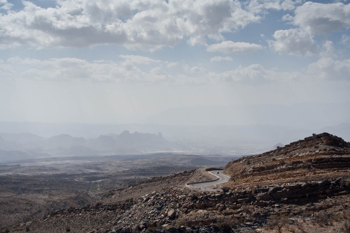
it’s a long way up!
The new road to Al Hamra follows a wide valley. A few kms beyond Guhl the ascent really starts. At a section with very steep hairpins we had to push our bikes for many kms.
At the top you descend into another wadi where the pavement ends. The first kms are cyclable. The rest is very hard work, often we had to walk our bikes.
The final 5 kms are paved again. At two restcamps (rooms and tents) you can sleep and eat. The views are superb and worth all the work to get there. At an altitude of 2000 m it’s also remarklably cool.
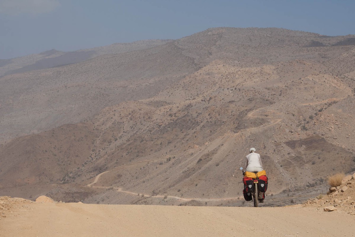
descending the Jebel Shams
Nizwa – Wadi Bani Awf – Rustaq
Just outside Al Hamra the road steadily starts to climb to 2000 m. The pavement is wide and new with only light traffic. The 20 kms to the top make a lot of hard work. There are few villages along this road. The views of Al Hamra and the surrounding mountains are great.
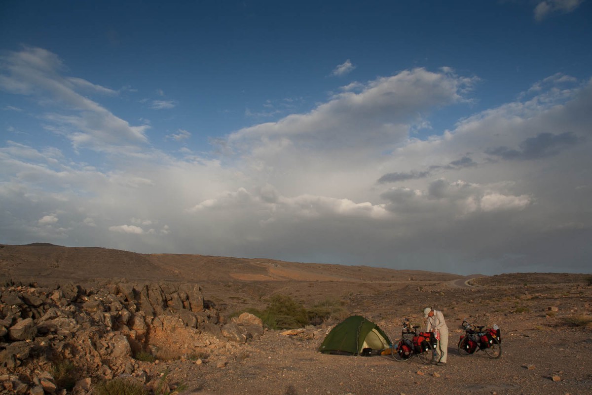
free camping just outside Al Hamra
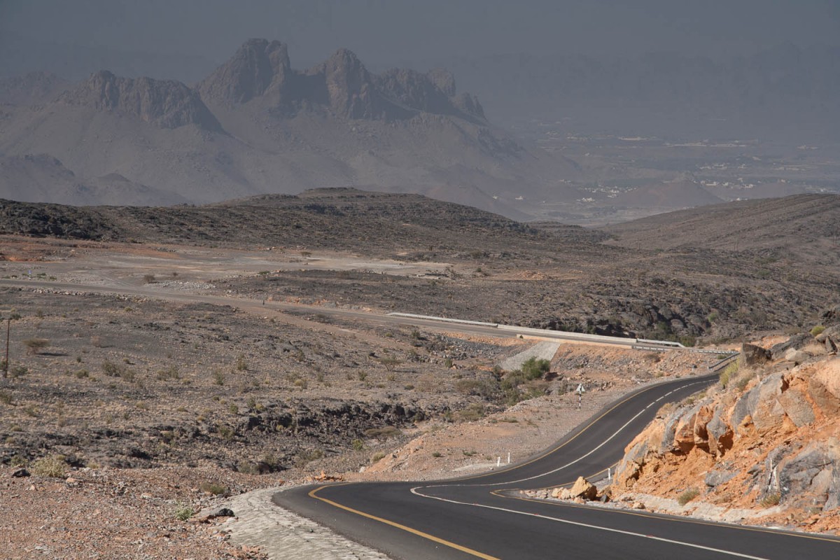
the road to the top is excellent
Just before the top you’ll reach the newly opened Hoota Guesthouse. At the highest point is a viewpoint and parking area. The pavement ends rather abruptly before the rough road steeply descends into the wadi below. From the top it’s 40 kms to the paved Rustaq road. It took us a full day to cover this stretch.
The first 20 kms are extremely steep (up to 27% !), and also require some short but steep ascents. On some sections we had to walk our bikes down (too steep to ride) or push one bike up by both of us (too steep, too).
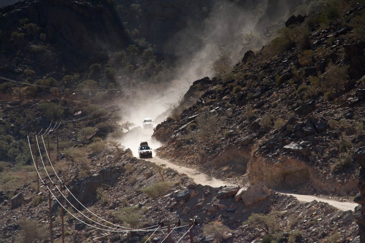
dust can be a problem on the Rustaq road
The road is narrow and rough, often covered in sand as fine as powder. Passing cars whirl up huge clouds. A 4wd is required to travel here. Not a lot of water available along this road.
The steep section ends (after 20 kms) at As Zammah. From here the road continues through a rather rough wadi. The graded track seems to be paved with huge stones. It was a bumpy ride.
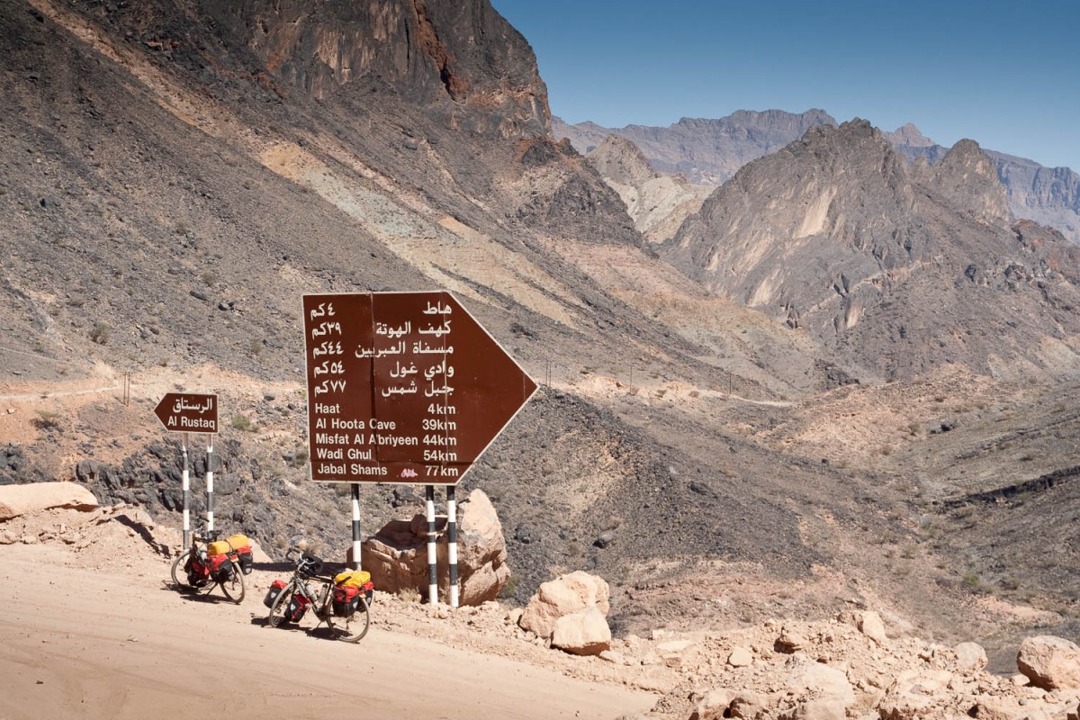
descending the Rustaq road
At the end of the wadi is the Tourist Vilage Resort Motel with basic overpriced rooms at 25 OR. Rustaq is 10 kms north along a paved road.
Rustaq – Nakhl – Seeb – Muscat
Rustaq is a busy town and the narrow road north to the coast is even busier. The section connecting old and new Rustaq is extremely narrow and busy. We consider it dangerous for cyclists, but it can be avoided (see our map).
The section beyond the new mosque (take the Ibri turnoff to get to Rustaqs only hotel opposite the Makal Hypermarket) is a dual carriage. We travelled as far as Al Hazm (fort) and took a secondary road to the village of Jamma.
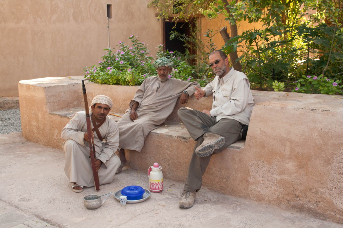
although the fort was closed we were invited for coffee and dates at Al Hazm
Some maps show a “road” leading from Jamma east to Nakhl. Locals told us that this track is 4wd only and very rough so we decided to adjust our route and continue straight north along a rough graded track ending on the busy Highway nr. 1. Fortunately this very busy highway has a service road at both sides.
Cycling on highway nr. 1 itself should be avoided at all time! There are hundreds of speeding trucks and an endless stream of cars.
After spending a night at the expensive beach resort at Al Sawadi we travelled south again through Al Khatum and Muslimat to Nakhl.
Highway nr. 13 back to the coast is busy and fails to have a good shoulder to avoid all that traffic. We passed by a turn off to Fanja; this could be an alternative to avoid most of the busy coastal section.
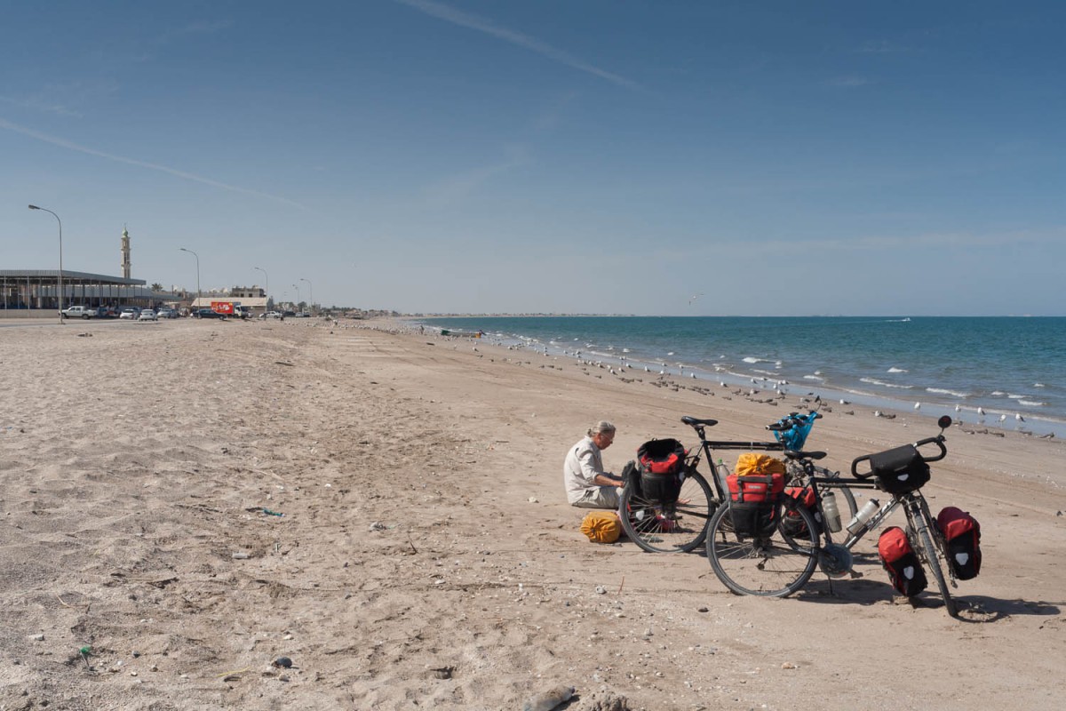
lunch break at the beach
We visited the town of Barka and continued to Seeb. To keep using the service roads along highway nr. 1 you may have to cross a few times. With the quantity and the speed of the traffic this can be risky as there are no traffic lights or bridges. Just wait and wait and wait for a quiet moment and rush across!
From Seeb we followed the quiet coastal road to end our trip at the International Airport where we left our bikes at the Left Luggage service and took a taxi to downtown Muscat.
