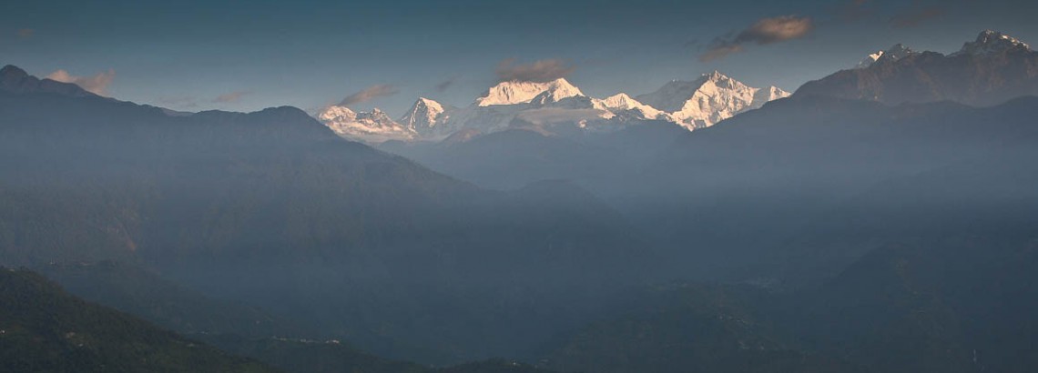
In October 2006 we cycled around Sikkim (India) and Bhutan. This part of the website contains a detailed tour report on Sikkim. We started at Bagdogra Airport in West Bengal and biked to Sikkim. The trip took two weeks and ended at Puentsholing at the Bhutanese border where we continued our trip into Bhutan.
Bagdogra Airport – Siliguri (16 km)
We arrived here on a domestic flight from Delhi. Bagdogra Airport is a small airport with limited facilities. Leave the airport an you are already cycling amidst vast tea plantations. Big city Siliguri is just 16 kilometres away on a good, and not very busy, road. Siliguri has all the facilities (ATM, banks, internet cafe, shops etc.)
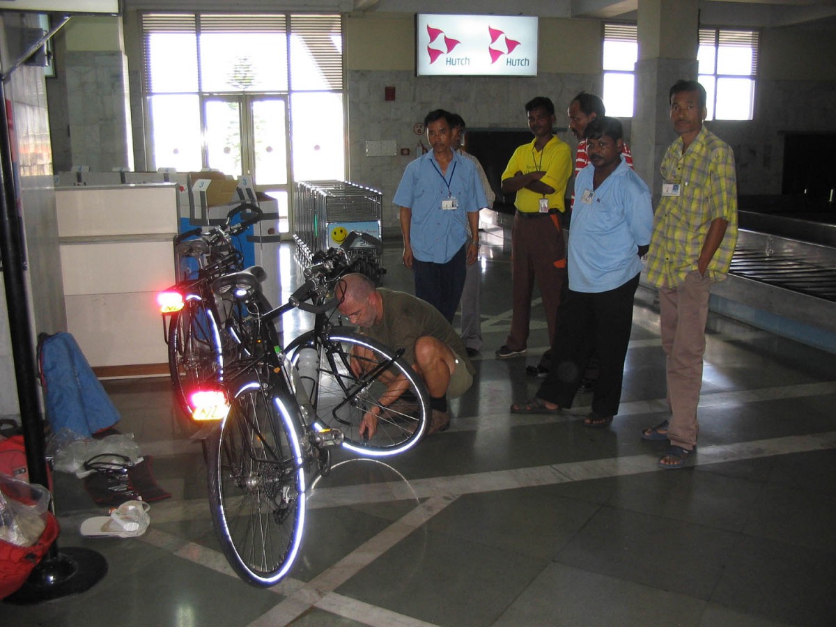
Arrival at Bagdogra airport
Siliguri – Teesta (54 km)
Once you have left the hustle and bustle of Siliguri behind you enter a nature reserve. Large trees shade the road here. There is no climbing yet. At the turn off at the Coronation Bridge the main turns east towards Assam. We followed the detoriating road north in the direction of Gangtok.
At Teesta Bazaar we crossed the bridge and after a short climb found accommodation in the Chitrey Wayside Inn high above the eastern bank of the Teesta river.
Teesta – Jorethang (35 km)
Although the road follows the river closely it’s a bit of a roller coaster ride. There are numerous turn off’s on this stretch but sign posting is almost non existent. Jorethang doesn’t show up on the mileposts, but Naya Bazar (1 km beyond Joretang) does.
Jorethang has several hotels and shops. The last 10 km are slightly downhill. Overall road quality is good but you may have to ford small streams crossing the road (after heavy rainfall).
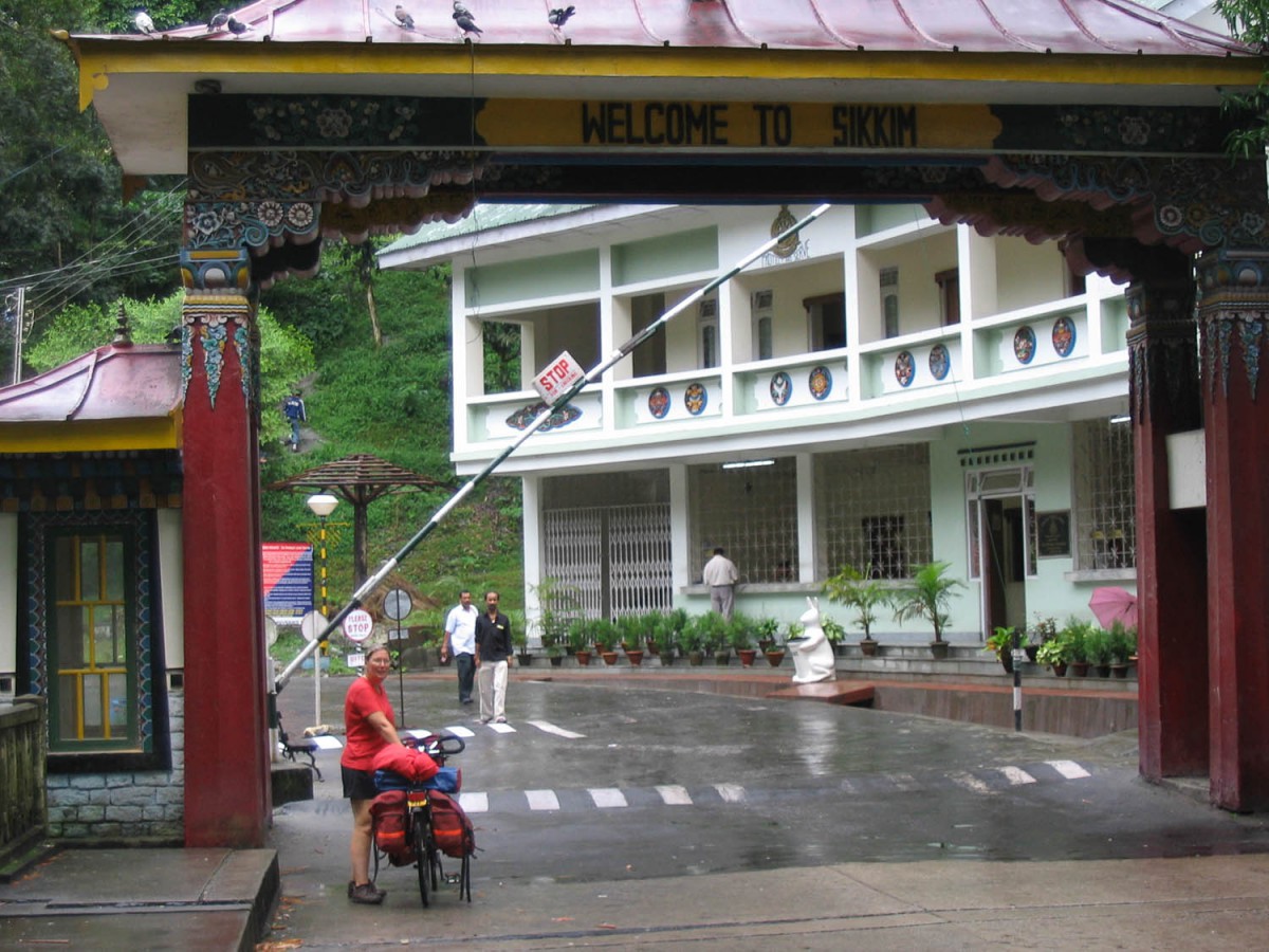
Border with Sikkim
Jorethang – Taschiding (41 km)
Until the town of Legship (at least one hotel here) the road is almost flat; closely following the river. After turning right at Legship’s main junction the road starts with a steep climb. Many parts parts of this section are in an advanced state of disrepair.
About 10 km before Taschiding the road improves and there are several steep hairpin style section before you reach the village. Accommodation in T. is limited to a few very basic guesthouses.
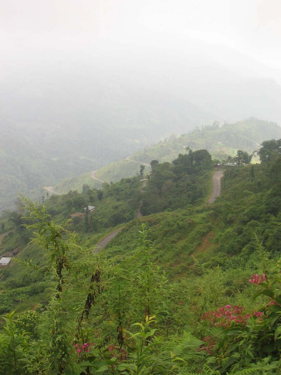
Taschiding – Yoksum (25 km)
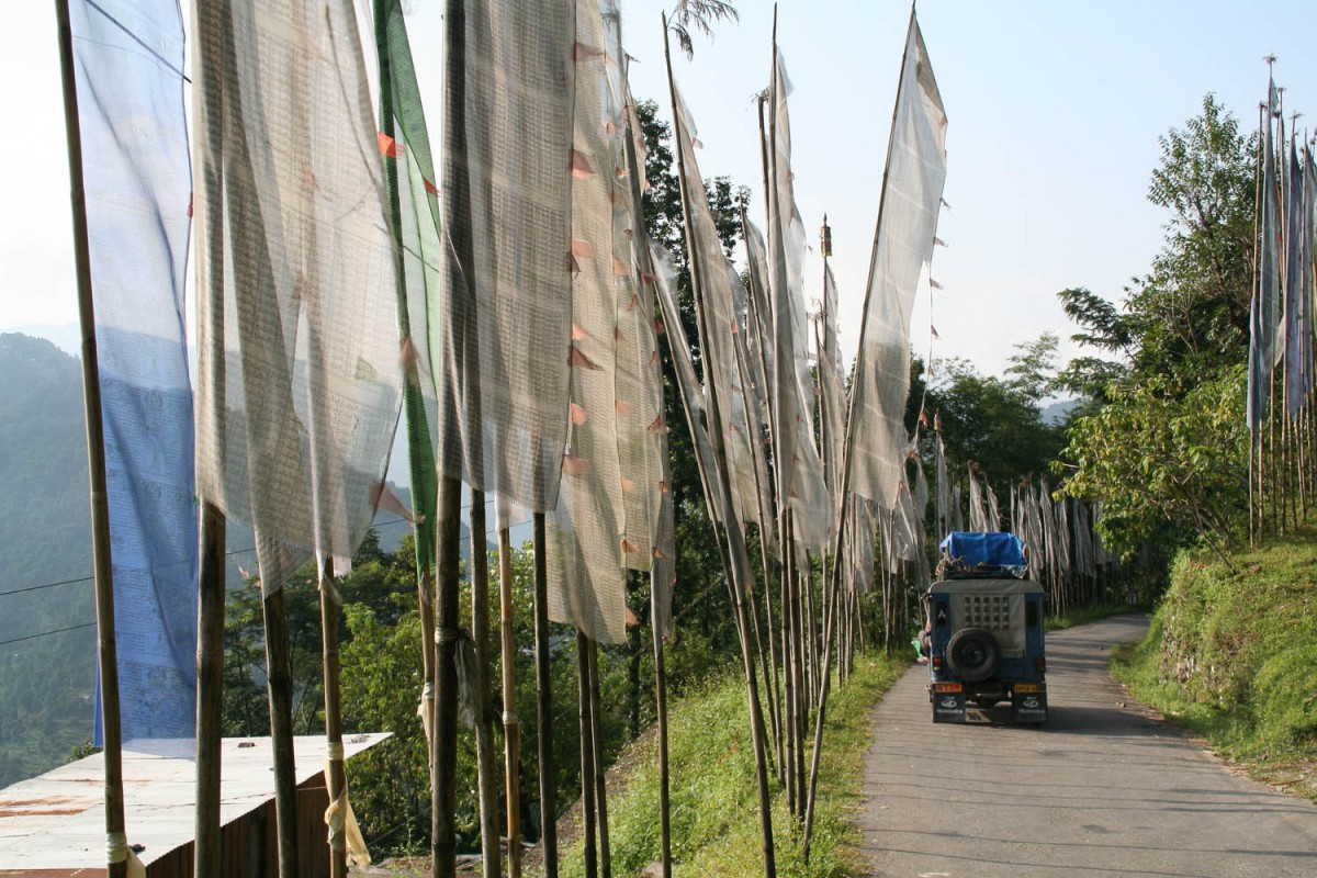
Parayer flags
After a climb of approx. 6 km you’ll reach a pass at an altitude of 1100 m. A nice descent follows with (weather permitting) nice views of the town of Pelling at the other side of the valley.
After the Phamrong Falls the road starts climbing again. The paved road ends on a junction two kilometres before Yoksum. The track that follows is difficult to cycle. Without a wide tyre mountain bike you may have to walk most of it. Yoksum offers a multitude of hotels and guesthouses.
Yoksum – Pelling (35 km)
The ride from Yoksum to Pelling involves a 20 km descent to Rimbi and a shorter climb up the ridge to Pelling. The first 6 kms from the Yoksum junction are very rough and bumpy. After the swing bridge at Rimbi the pavement is back.
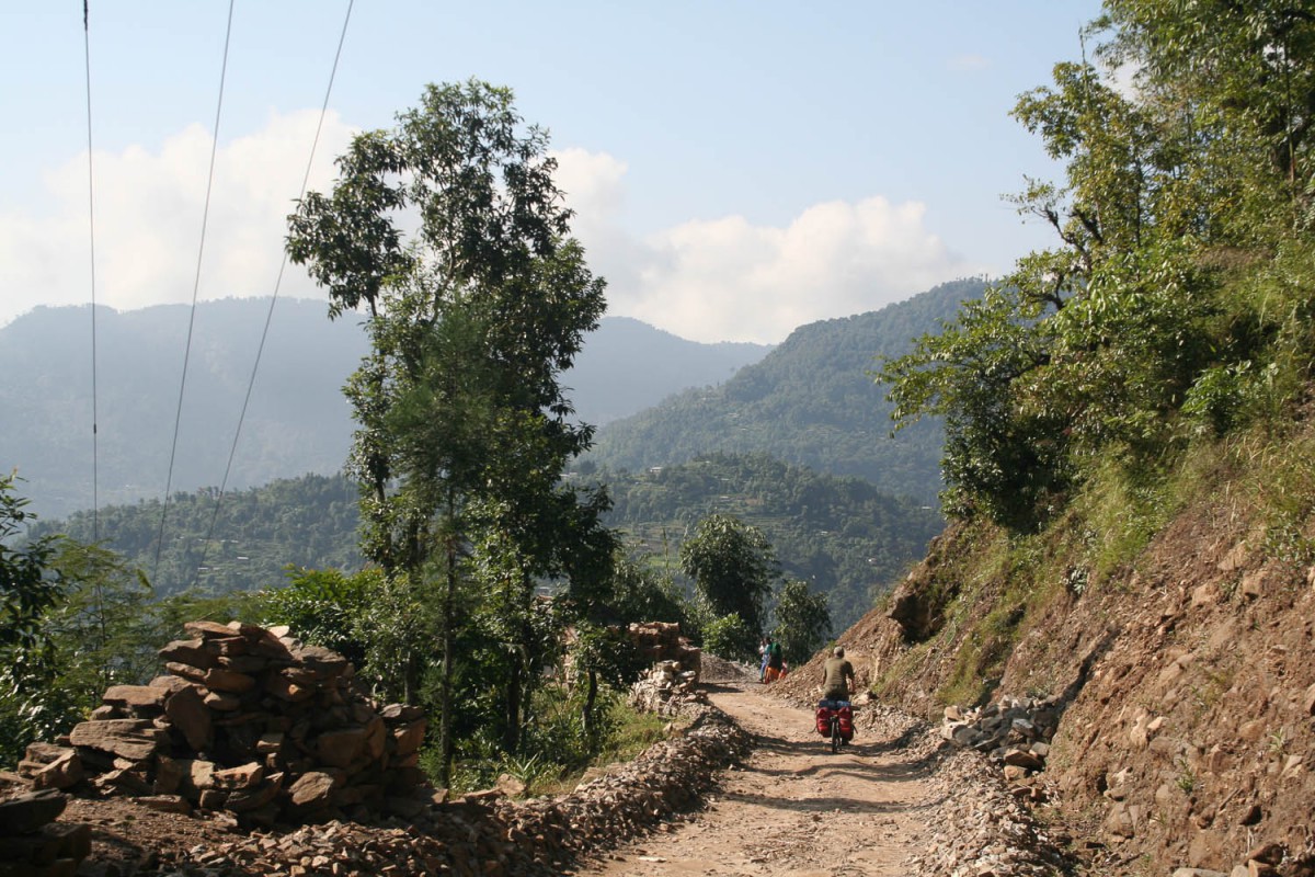
Not all roads are paved
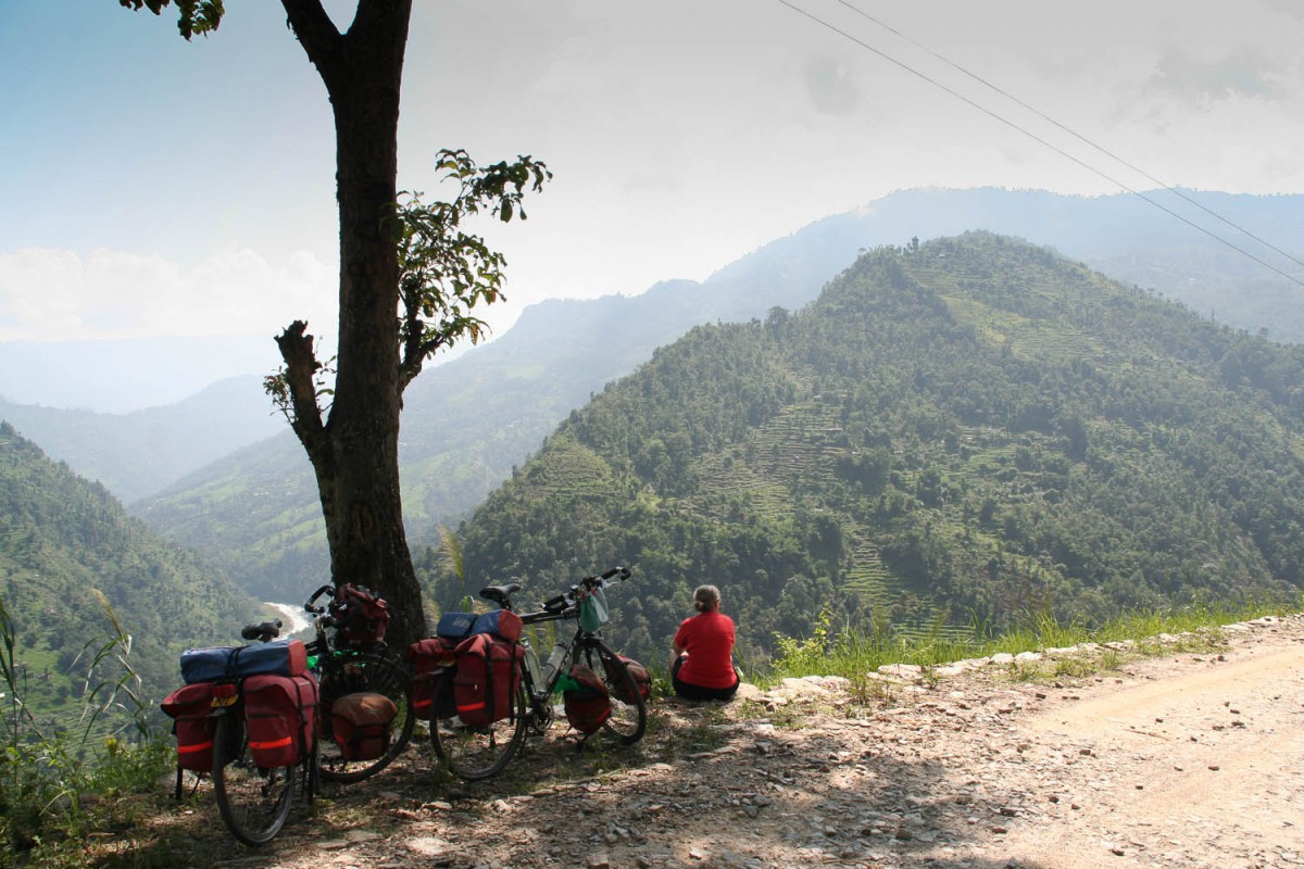
Enjoy the veiw
Pelling is a sprawling town with hundreds of hotels. The majority of visitors here are lowland Indians escaping from the heat of the Calcutta plains.
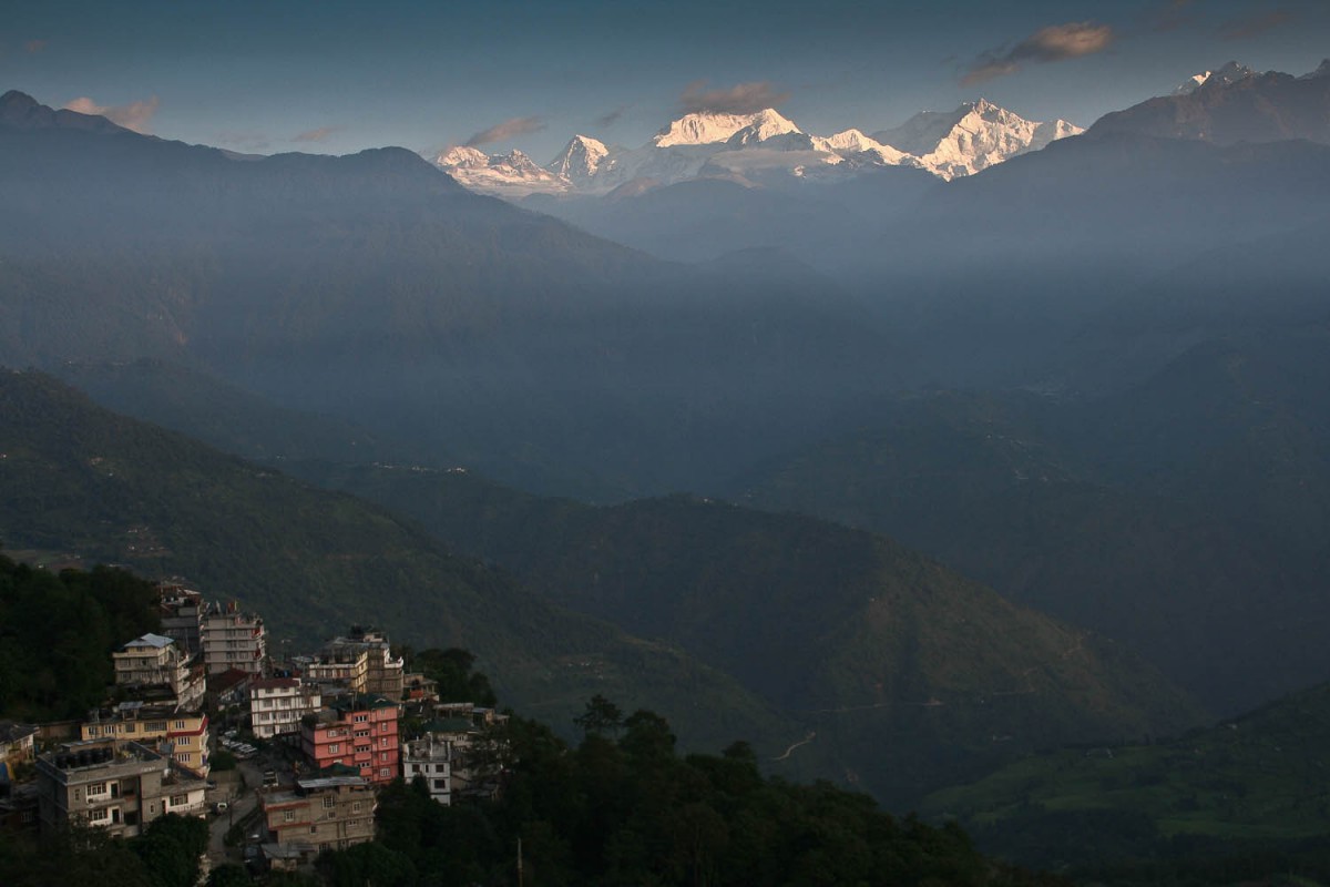
Pelling at sunrise
Pelling – Kalimpong
We did this section by taxi. Because our trip through Bhutan required a fixed schudule we did not have enough time left to bike to Kalimpong.
It was easy to hire a taxi from Pelling to Kalimpong at one of the many travel agents. The ride took approx. 6 hours to complete.
Taxi to Kalimpong
Kalimpong – Gurabathan (74 km)
The first half of the climb to the small town of Algarah is relatively easy. The road is good and not to steep. The second half is much much steeper! After Algarah you can rest your legs as some mostly flat kilometres follow. Even the final hairpins to the village of Lava (alt. 2000 m) are amazingly easy to bike.
Lava offers shops and some hotels. It’s rather cool up here. The long descent to the plains of Assam and West-Bengal starts here and lasts more than 45 km to the town of Guranathan. The road is very well constructed with extremely long hairpins winding endlessly down.
Down to the plains
There is a government tourist lodge near Gurubathan (signposted along the road). Next door is also a government rest house.
Gurubathan – Old Hasimara (111 km)
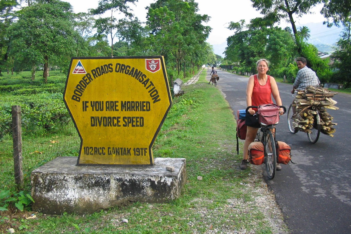
Road sign
From the Gurubathan Tourist Lodge it’s only a few kilometres to the junction with National Highway 31. In this area strikes are not uncommon. We were lucky: on the day we traveled all traffic, apart from a few motor bikes and bicycles, was blocked by strikers. We had the road for ourselves.
We discovered that the NH 31 and HN 31C shown on our Nelles map follow quite different directions than the one we were following that day!
Given the quantity of trucks parked in the towns we passed the road is probably normally very very busy on non-striking days. On one occasion we passed, what seemed to be, an endless row of hundreds and hundreds of overloaded trucks.
Signposting is not very good in this part of India. You may have to rely on asking directions. The road is in good shape and flat as a pancake. You’ll be cycling through tea plantations most of the time.
Old Hasimara – Jaigoan (20 km)
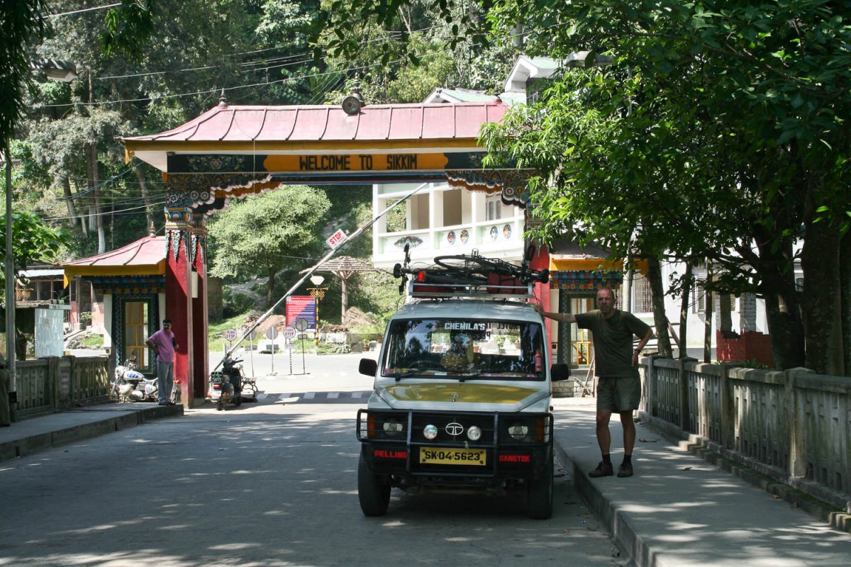
With all traffic back on the road it was rather chaotic. Chaos and traffic increased upon approach of the dirty border town of Jaigoan. Follow the main stream of traffic and You can’t miss the brightly coloured border gate to Bhutan. Where we continued our trip.
