Keetmanshoop – Fish River Canyon
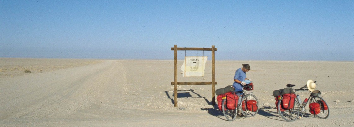
The paved main road west out of Keetmanshoop (2 supermarkets) is in perfect condition. The first 35 kms are easy. The turnoff to the D545 is clearly signposted. A Rest Area 1 km west from this junction hardly offers any shade.
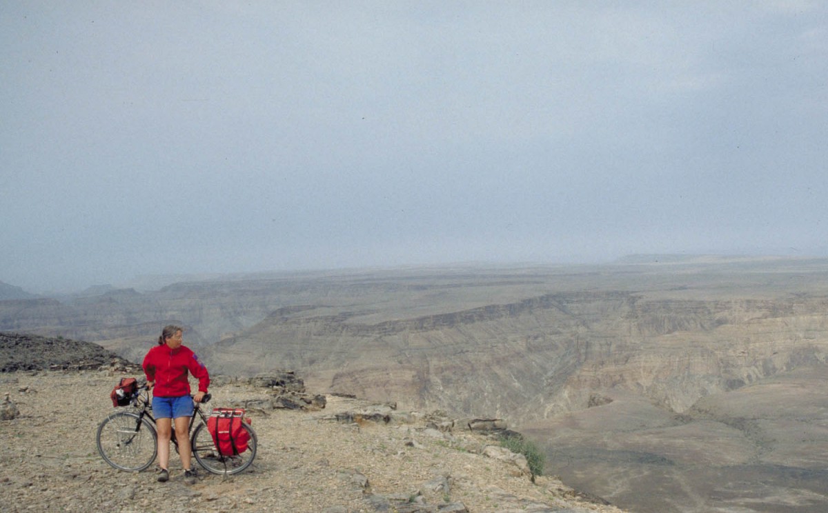
looking down the Fish River Canyon
Note: on the maps we’ve seen not all the roads to and around Naute Dam are correctly printed. The D545 is an excellent Gravel road. After 20 easy kms you’ll arrive at the junction with the D570. A very large sign ‘Camp Area’ points towards the Naute Dam. The 5 km road to the dam is in bad shape: very soft and sandy. At the dam are no facilities except for a empty oil drum to put your rubbish in. Water has to come from the dam. Lot’s of water birds here.
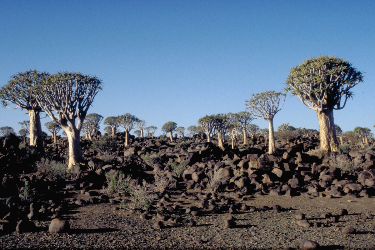
the Quiver tree forest near Keetmanshoop
After the junction with the D570 the D545 continues another 17 kms to the main road, the C12. The C12 is in a good condition but there are no towns or facilities until you get near the Fish River Canyon area. There may be camps of railroad workers along the railroad where you can get drinking water. There are camping facilities at the ‘Augrabies Steenbok Reserve’, but the camp area is 16 kms from the main road. Further down the road is the hamlet of Holoog. 10 kms beyond Holoog is the junction with the D601. This is the (good) road to the Fish Fiver Canyon.
Just another 33 kms of cycling and you ride into Hobas Camp. It’s a very nice shady campground with small shop (all basic supplies like bread, veggies, cold drinks etc.) and even a swimming pool.
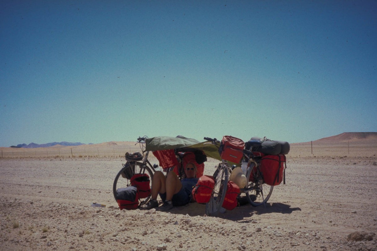
improvising a shady spot between two bikes
Hobas – Bethanie
The road back to the paved B4 is flat and in good condition. Most maps show the town of Seeheim on the junction of B4 and C12. In reality there is just a small hotel and that’s it.
The first 15 kms after Seeheim are hilly but the road is paved and excellent. The closer you get to Goageb the flatter the country becomes. Goageb is just off the main road; no facilities. Just 25 kms further is the town of Bethanie where the paved road ends. Bethanie has a hotel and 2 supermarkets, but no campground.
We continued on a excellent gravel road another 34 kms to the Konkiep Lapa Restcamp. Good camping facilities (even a kitchen and hot showers) and also small bungalows for rent.
between Hammerstein and Sesriem
Bethanie – Maltahohe
The road to Helmeringhausen, another 23 kms from the Konkiep Lapa RC, climbs slowly. H. has a shop, gas station and hotel (5 rooms). The quality of the C14 north from H. is not excellent anymore, but the cycling is still relatively easy.
The C14 winds for 60 kms through a rough and dry landscape. Hilly and flat sections come and go. Our route continued on the D831, a very corrugated and sandy road. The actual road to Duwisib is even worse. It’s about 20 kms of bumpy and slow cycling until you get to the castle. This stretch of gavel road is graded every 3 months so you may strike it lucky!
A shop at Duwisib farm sells cold drinks, canned veggies, spaghetti etc.
The road(s) to Maltahöhe vary in quality but once you are back on the C14 the going is easy. In the last 20 kms before M. you will have to climb some hilly sections. Not very steep though. M. has a good hotel with restaurant (gigantic Wiener Schnitzels!) and a supermarket with all supplies.
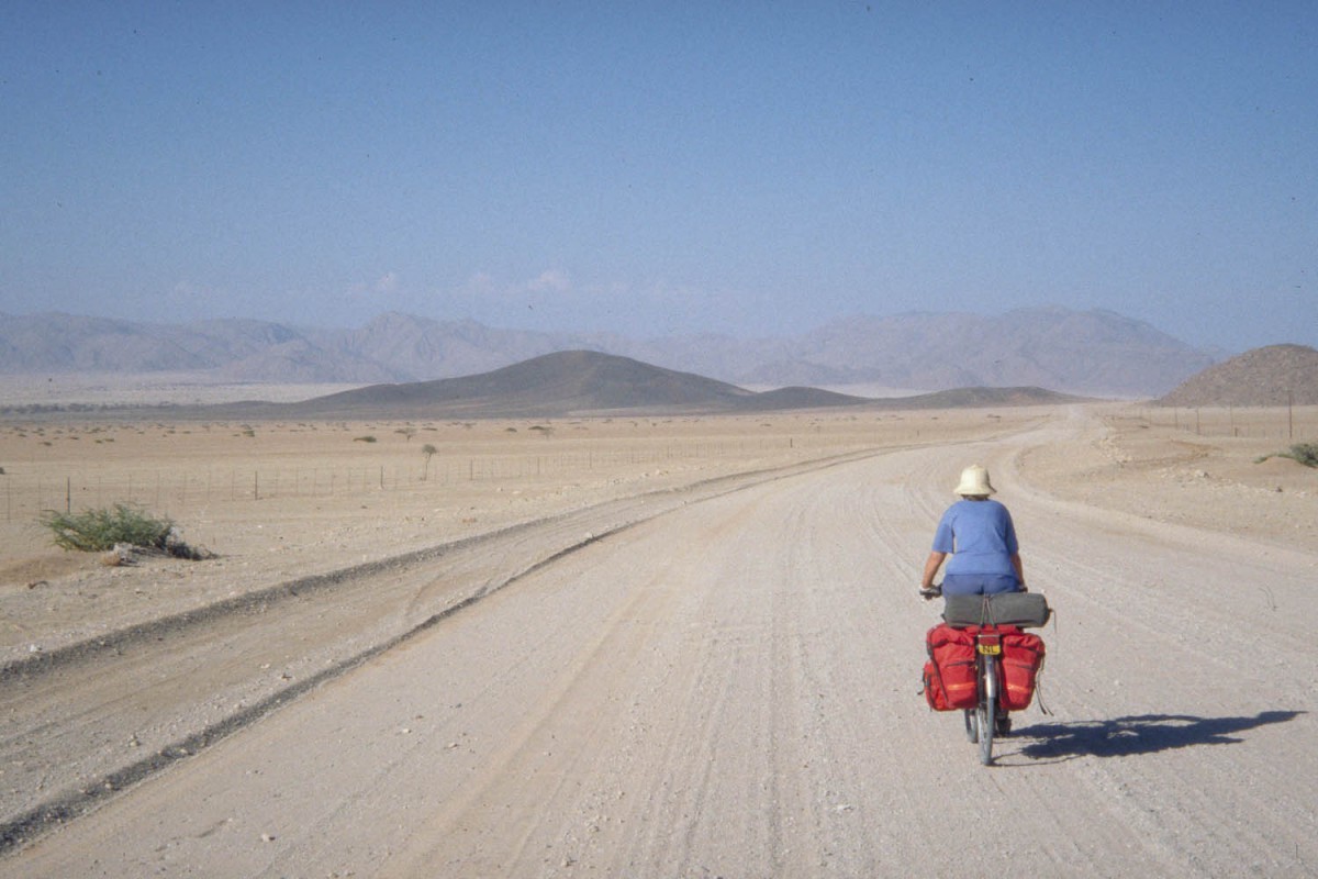
the road from Sesriem to Solitaire
Maltahöhe – Sesriem
From M. we rode back again over the C14 until the junction with the ’36’. Until the junction with the D831 the road is flat and easy to ride. The climb to the Zarishoogte Pass is not very spectacular. Actually you’re more descending from the Namibian Plateau than climbing a mountain pass. Once you get to the junction with the D827 this descent is over.
Another 20 kms past that junction is Hammerstein RC; 1 km off the road. They rent bungalows, you san use the swimming pool and camping is possible. From Hammerstein a good road is slowly further descending into the desert. Great views and easy cycling for 30 kms. After you have passed the junction with the D845 the road deteriorates; especially in the more hilly sections. The last 5 kms to Sesriem proper are in a very bad shape.
The small shop at Sesriem sells the usual goodies. They get their supplies only once a week so some items (such as fresh bread) may run out fast. The famous dunes are 60 kms away from Sesriem and no bikes nor overnighting is allowed in the park. It’s easy to get a ride on a car though.
Our next stop was Solitaire; 84 kms away. There are three other possibilities to stop on this stretch: Weltevreden RC, Namib Restcamp en de Namib Naukluft Lodge; only the first offers camping, the others are categorized as luxurious.
Solitaire, it’s not more than a roadhouse, offers basic camping. The manager, Mr. Moose, is a bicycle fanatic who takes pictures from all passing cyclists for his Wall of Fame. He is a friendly guy who bakes great bread and has a well stocked shop. He told us he sees about a cyclist a month.
Solitaire – Bullsport (54 km)
We made a returntrip to the Naukluft section of the Namib Naukluft Park. The first 20 kms the road is in a bad shape. Once you get in the mountains cycling is much easier. You can stay at a guest farm at Bullsport and there even seems to be a small shop.
Bullsport – Naukluft ( 22 km)
Although this is an official numbered road it doesn’t look like one. There are numerous dips, sandy stretches and lot’s of corrugation. From the entrance of the park it’s another 11 kms to the park office. This road is very steep at some places.
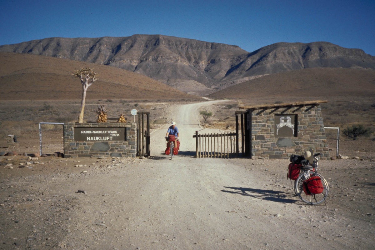
leaving Naukluft NP
Solitaire – Swakopmund
The road north from Solitaire towards Walvisbaai is bad. We planned to ride to Walvisbaai in two days. We didn’t make it because of the road quality and the countless short and very steep hills. About 30 kms after Solitaire all greens have disappeared: no trees, no scrubs, no shade.
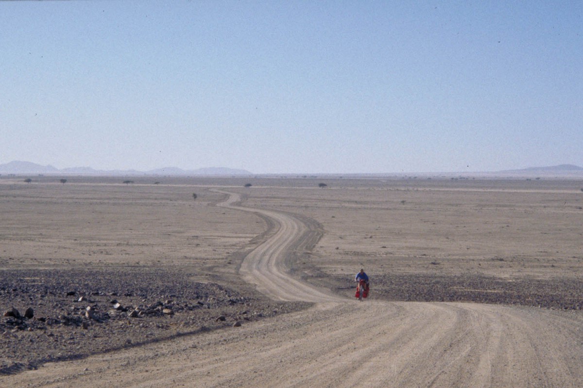
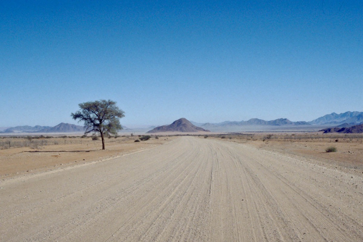
in the Namib Desert
Along this road are some very basic (no water) campgrounds. You’ll need a permit to stay here. There is enough traffic on this road, so refilling your water bottles should be no problem. We got a ride from two National Park rangers all the way to Ganab, one of only two campgrounds in the Namib desert with drinking water.
There is a water tank, a pit toilet and a picnic table at Ganab. Lot’s of wildlife around this campsite. Roads inside the park are generally better than outside the park. From Ganab we easily reached the C28 road to Swakopmund. The road is in good condition and carries few traffic. Once you get closer to the coast it gets noticeably cooler.
Back to Windhoek
We traveled by mini-bus taxi on the paved B2-road to Windhoek. This road is narrow and very busy. Although our fully loaded minibus was driving at 140 kms p/h we were often overtaken by cars and truck. Not recommended for cyclists.
