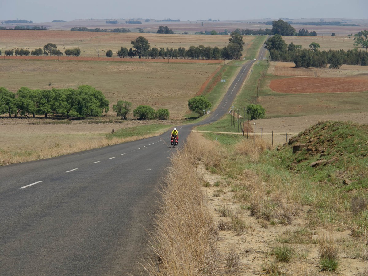
All information on these pages is based on a bike trip we made through the South African provinces of Mpumalanga and Limpopo in 2013. We also visited Swaziland in this trip.
We flew to Johannesburg, started cycling in the small town of Ermelo and continued first to Swaziland. After A short visit to Swaziland our route proceeded through Barberton, White Rivier, Sabie, Graskop, Acornhoek, Hazyview, Lydenburg, Dullstroom and Belfast. We also included a short visit to Kruger National Park (not by bicycle of course). The total distance travelled by bicycle was 1000 kilometers.
For the exact details of our route please use this map on Google maps.
From Johannesburg to Ermelo
To avoid the rather uninteresting agriculture area east of Johannesburg we arranged transport to drop us off at our starting point Ermelo. Cycling along the busy N17 highway looed rather uninviting.
Ermelo – Amsterdam
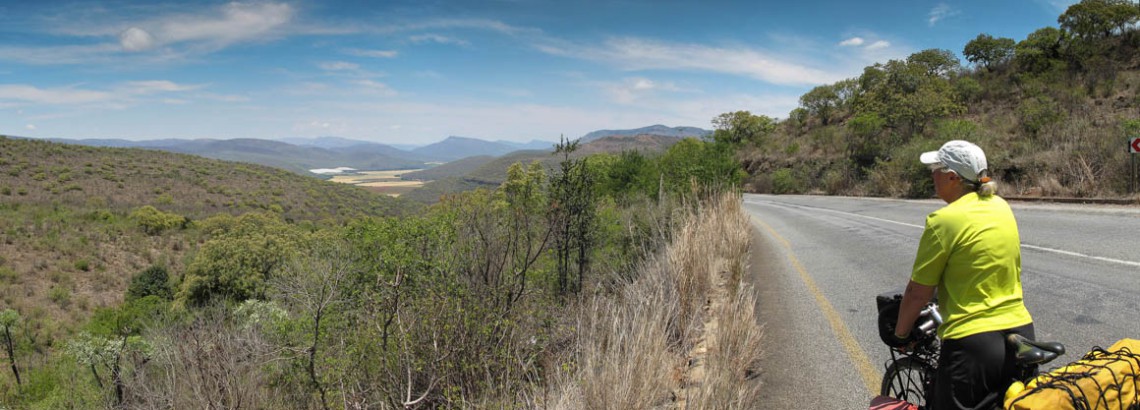
Our first day of cycling. The road to Amsterdam was mostly very quiet. We cycled through farmland and large eucalyptus forests. There were many small hills on this undulating route and one major climb (30 kms from Ermelo) followed by a nice descent. Amsterdam is a village with two hotels (the Jim Burns Inn and the Glenn Oak Lodge) and a few shops; both are signposted.
The rural road from Ermelo to Amsterdam
Amsterdam – Ezulwini
The border with Swaziland is not far away and the road leading to it is very quiet. The border crossing was easy. In Swaziland the road narrows and has many ups and downs. Once you pass a concrete fire tower a long descent towards Bhunya begins. Bhunya has no facilities at all. We were able to camp at the local police station.
After Bhunya there is a short climb but the rest of the road generally descends towards the Ezulwini valley area, This road was moderately busy but had a nice shoulder most of the way.
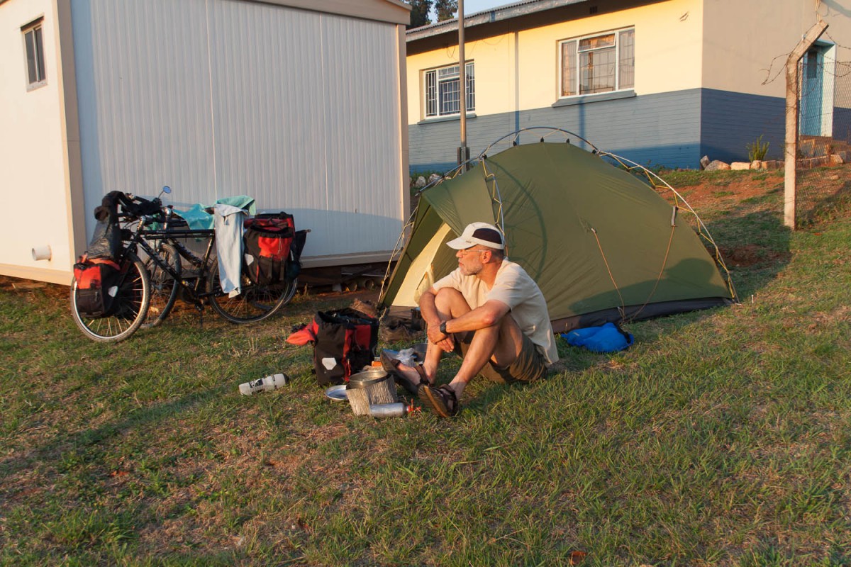
Camping at the Bhunya Police Station
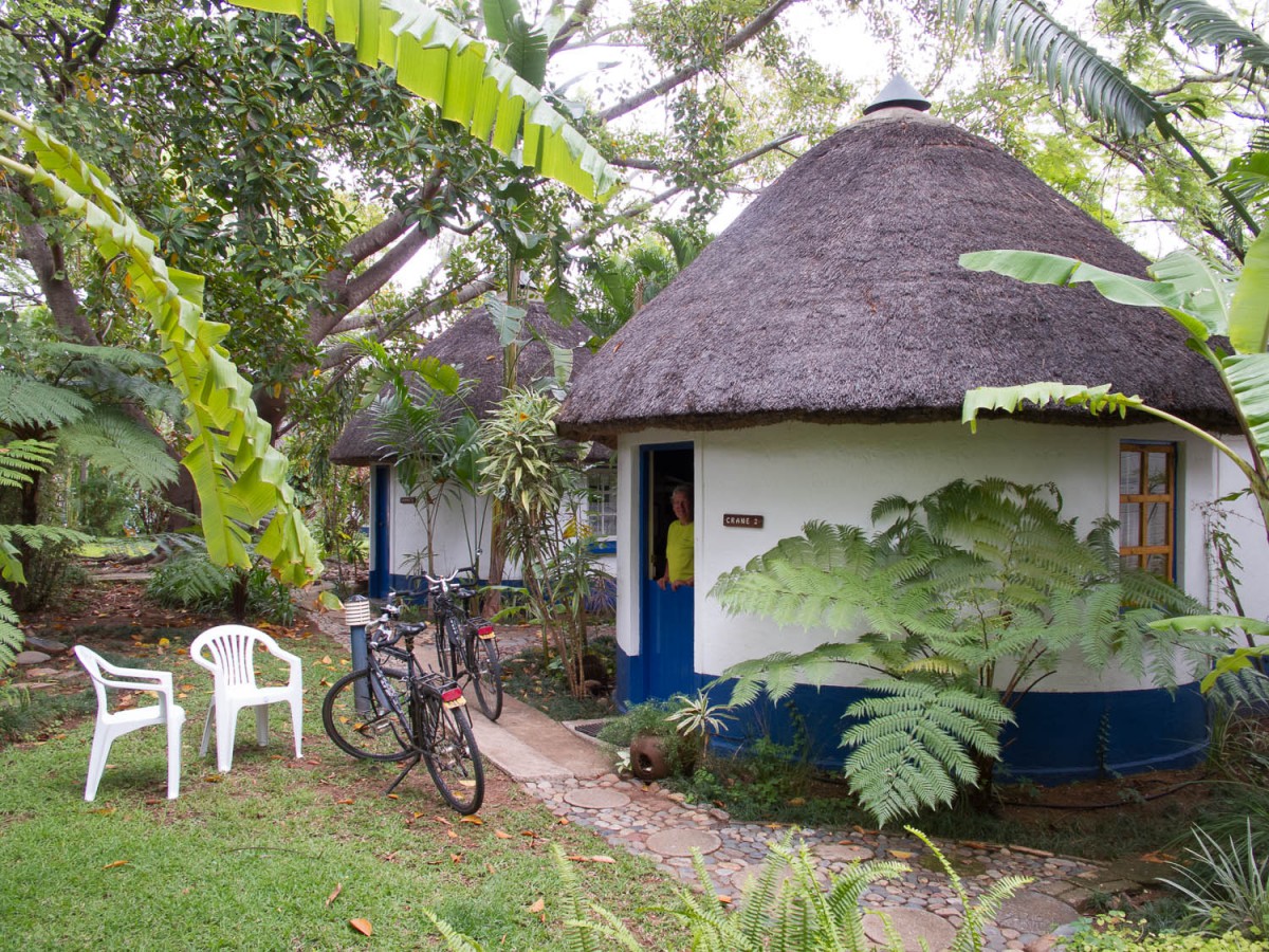
The town of Malkers (where you enter the valley) has some good supermarkets, but the better shopping can be done in Ezulwini. The town of Ezulwini has a huge Pick ‘n Pay supermarket and many more shops in a huge shopping mall. There are several accommodation options in the area. We enjoyed staying at the Buhleni Chalets at walking distance from the large Ezulwini shopping mall. They also offer camping.
Panoramic view of the Ezulwini valley
Cycling in Mliwane Nature Reserve
Ezulwini – Mbabane – Maguga Dam
The friendly people at the Buhleni Chalets advised us to skip the long climb to Mbabane and even offered us to drop us of at a nice starting point to cycle to the Maguga Dam that same day.
The start of Pine Valley Rd. From Mbabane to Maguga Dam
We started following the so called Pine Valley road leading to the Sibebe Rock. A lovely quiet rural but unpaved road with a few short but steep climbs. Beyond the rock the asphalt ends and there are several very steep sections (where we had to walk our bikes). No signposting here. No services in this area apart from a few tiny local shops.
Quiet rural road to Maguga Dam
Once you’ll get back to the main paved road to the Maguga Dam it’s a nice 10 kilometer downhill ride.
The lodge at the dam offers nice chalets and camping on grassy spots with good showers and other facilities offered.
Maguga – Bulembu
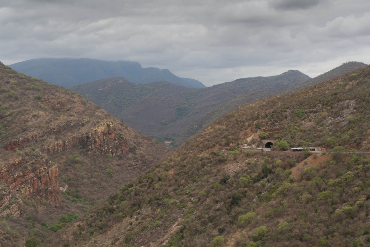
From the lodge you’ll start with a short downhill but after that it’s a lot of uphill riding. The good news is that there are no really steep hills along the dam. After Piggs Peak (shops, hotels) the dusty road to Bulembu and the South African border starts. Very recently this road has been (up)graded. The road quality is good, the first 4 kilometers out of Piggs Peak are mainly and steeply uphill. Once you see the telecom towers you are approaching the highest point on this road. Although a lot of short and steep hills will follow untill you reach the former mining town of Bulembu. The last 4 kilometers are paved again but the road quality is not very good. Bulembu has a small lodge.
The Piggs Peak to Bulembu Road

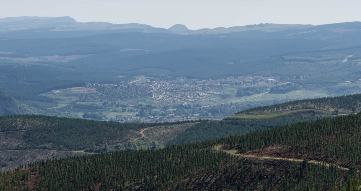
Panoramic view of Bulembu
There are plans to pave the Piggs Peak – Bulembu road in the near future,
Bulembu – Barberton – White River
Bulembu is at 1800 meter, and Barberton is 1000 lower. This means you will descent a lot. Of course there are still a lot short and steep climbs in this otherwise paved and very quiet road. The last 7 kilometers into Barberton are a steep downhill all the way. To get to the Barberton city center you must travel another 4 kilometers slightly uphill again. Barberton has all services including a wide choice of accommodation.
Downhill to Barberton
The main highway from Barberton to Nelspruit is reasonably busy but has a decent shoulder to ride on. The Hilltop Pass is a steep climb up. The closer you get to big city Nelspruit the busier the read gets. As cyclista without local knowledge we ended up cycling along a very busy 4 lane highway without much of a shoulder. Once Nelspruit is passed the road remains busy but the shoulder returns making cycling a lot easier.
The town of White River has al services.
White River – Sabie – Graskop
A quiet undulating road with a good shoulder leads you to Sabie. The first 30 kilometers from White River have all the climbs it it, followed by a moderate descent towards the Sabie River. Sabie is a small touristic town with at least 20 b&b’s and a well stocked SPAR supermarket in the center. There’s not much to see along the White River to Saboe road. The road mostly winds through the endless and dense pine plantations that are typical for this region.
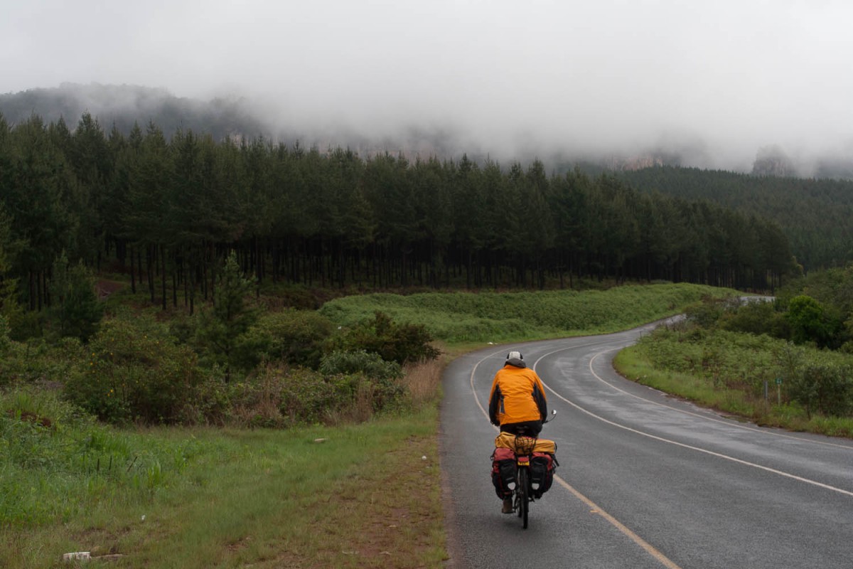
endless and dense pine plantations are typical for this region
The road to Graskop followes a similar recipe. Lot’s of ups and downs and even more pine trees. Closer to Graskop you’ll get you first views of the escarpment this area is famous for.
Facilities in Graskop are similar to those in Sabie.
Graskop – Acornhoek – Blyde River
Ourt initial plan was to continue north along the famous Panorama Route , descent into the Lowveld and then make a turn south towards Buskbuckridge and Hazyview. Because of extremely cloudy and foggy weather (no views at all) we decided to descent directly to the Lowveld area and return to the Panorama Route later, on a hopefully clear day.
The first kilometers downhill are along a narrow, shoulderless and winding road. Not a lot of fun when views are also very limited due to dense fog. AFter the Hazyview turnoff the road is wider and better with a good shoulder. Most of it is downhill. Once you approach Bushbuckridge the traffic will increase dramatically.
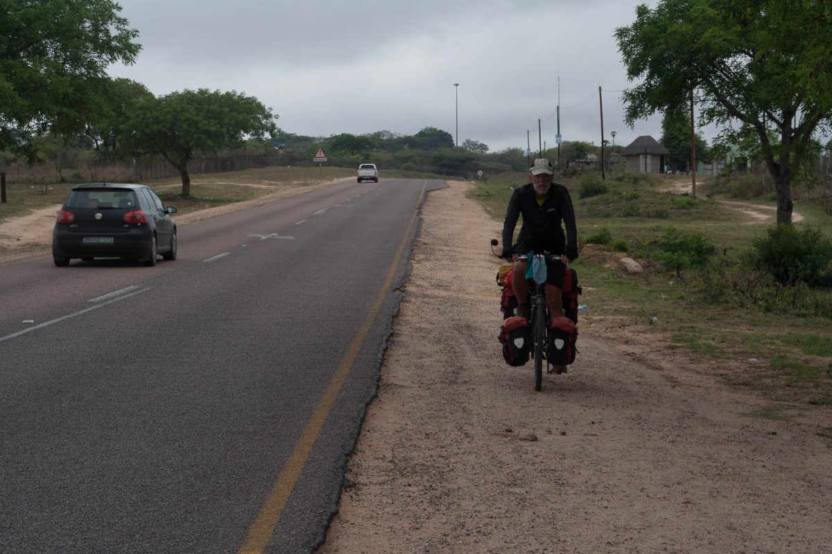
Sometimes it was safer not to ride on the road. Too much traffic, no shoulder
The road north to Acornhoek was very very busy with an endless stream of coal trucks, cars and even more mini buses. And mostly there was no shoulder at all. For safety reasons we had to ride on the unpaved side of the road several times. Although this area is called the Lowveld that doesn’t mean there are no hills. In fact the R40 road we followed had numerous small and steep climbs.
Acornhoek has at least two hotels. The Loa Hotel in the center where we stayed, and another one just north of the turn off to town.
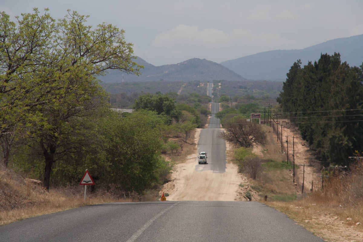
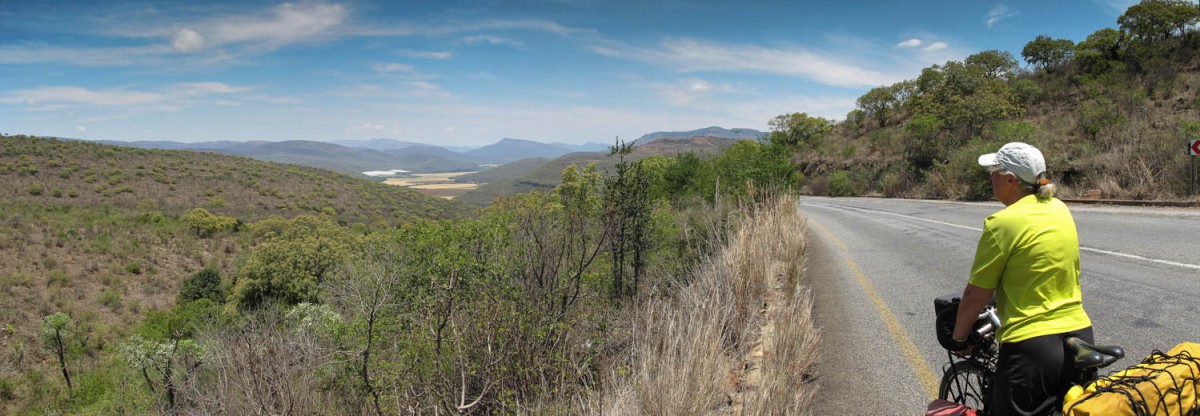
A bit further north is the Klaserie Junction ( b&b accommodation). The main road continues to Hoedspruit, a much smaller and much quieter road (R531) continues in north western direction. The landscape first is dry and wild with grasses and small trees. After a while you’ll be riding trhough endless citrus plantations. Most of this road is slightly downhill to the valley of the Blyde River.
The R513 was much quieter…
Finally you’ll reach the R527 highway. Wider with a good schoulder and of course a bit busies. On the junction is a b&b (the Zuleika Country House) and two kilometers further to the west the Blyde River truck stop with a few small shops. Another 10 kilometers further are the Blue Cottages. Really nice b&b accommodation in small blue and white rondavels. Dinner is offered. The owners also run a restaurant, craft shop on the main road.
Nice accommodation at the Blue Cottages, we could even fit our bikes inside
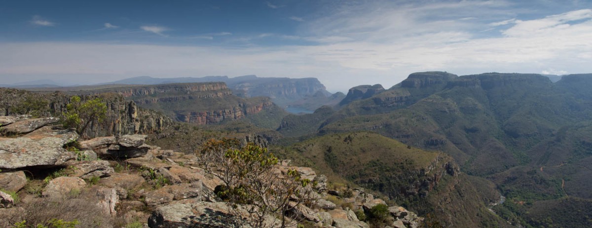
Blyde River – Blyde River Canyon
This was the day of the big climb back to the high altitude of the Highveld and the views of the Panorama Route. The first kilometers to the Strijdom Tunnel (length only 100 – 200 m) are easy. And even beyond this point the roas never gets very steep. There is a steady flow of traffic and the shoulder of unfortunately very narrow and littered with stones, rubish or completely overgrown. This is a main through road to Lydenburg and Ohrigstad.
Just through the Strijdom Tunnel
Downhill to the Graskop junction
After this long but easy climb a nice downhill follows. We turned left towards Graskop and the Panorama Route. This road is new, has wide shoulders and is very quiet. The last kilometers to the Forever Blyde River Resort are all downhill again. The resort offers a variety of chalets and camping. Good buffet style meals in the restaurant and a well stocked small supermarket.
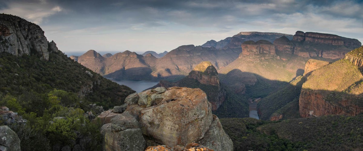
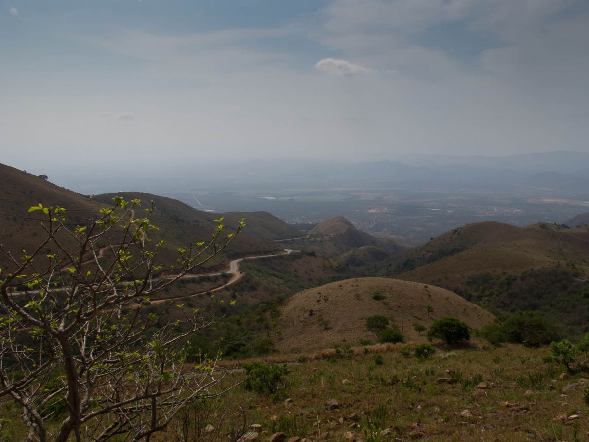
Panoramic view into the Blyde River Canyon
Blyde River Canyon – Graskop – Hazyview
The Panorama Route south to Graskop has several viewpoints and longs climbs and descents as well. To visit the Kruger National Park we continued the next day to Hazyview. It\s again a longs descent that ends on the same busy R40 we had been riding on north of Bushbuckridge. Busy Hazyview has plenty of shops and shoppings centers and offers a wide variety of accommodation.
This is why they call it the Panorama Route
From Hazyview we made day trips into Kruger National Park. Worth a visit; we saw plenty of animals including lions, hippo’s and elephants.
Hazyview – Sabie
The first 10 kilometers are along a always undulating roud through farmland, Followed by a long and steep climbing leaving the Sabie River deep and far behid you. Of course followed by an equally nice downhill; except for the last 2 kilometers into Sabie. That’s uphill again. Very quiet road; no shoulders.
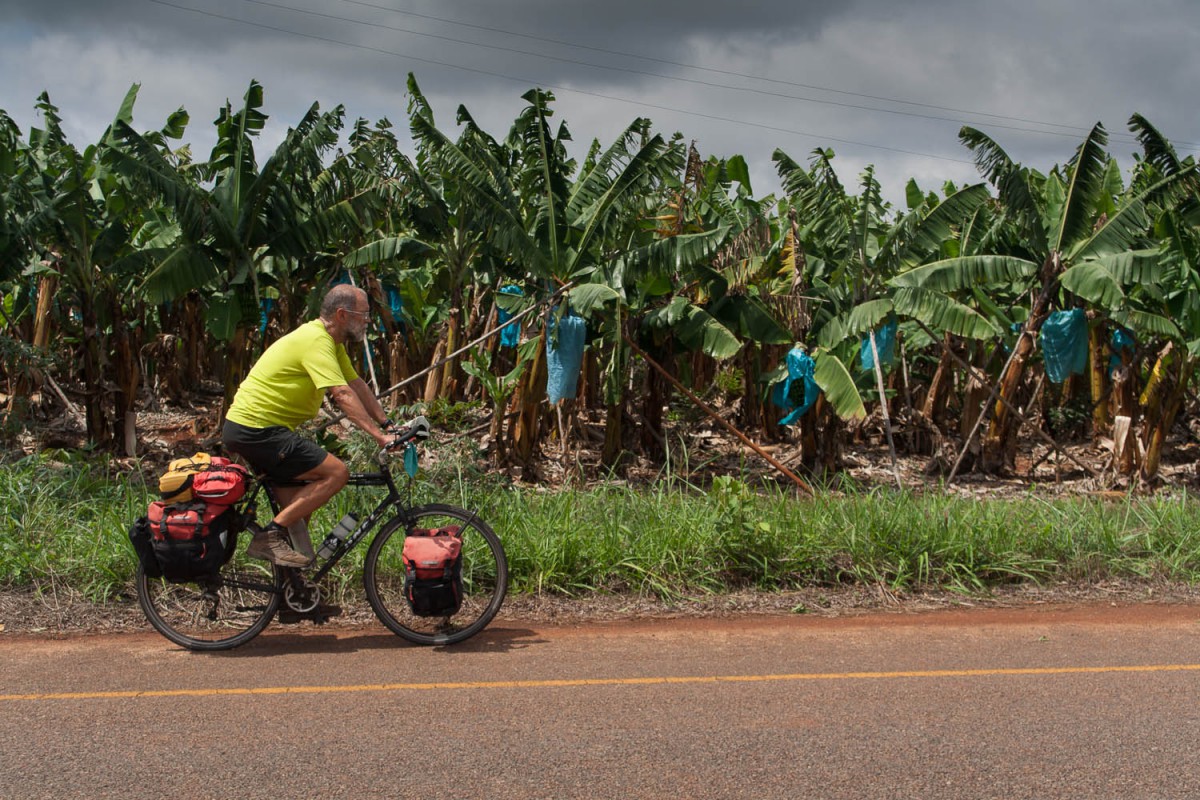
Bananas are an important product in the Hazyview area
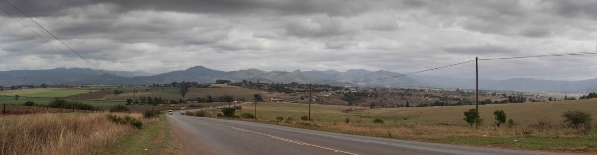
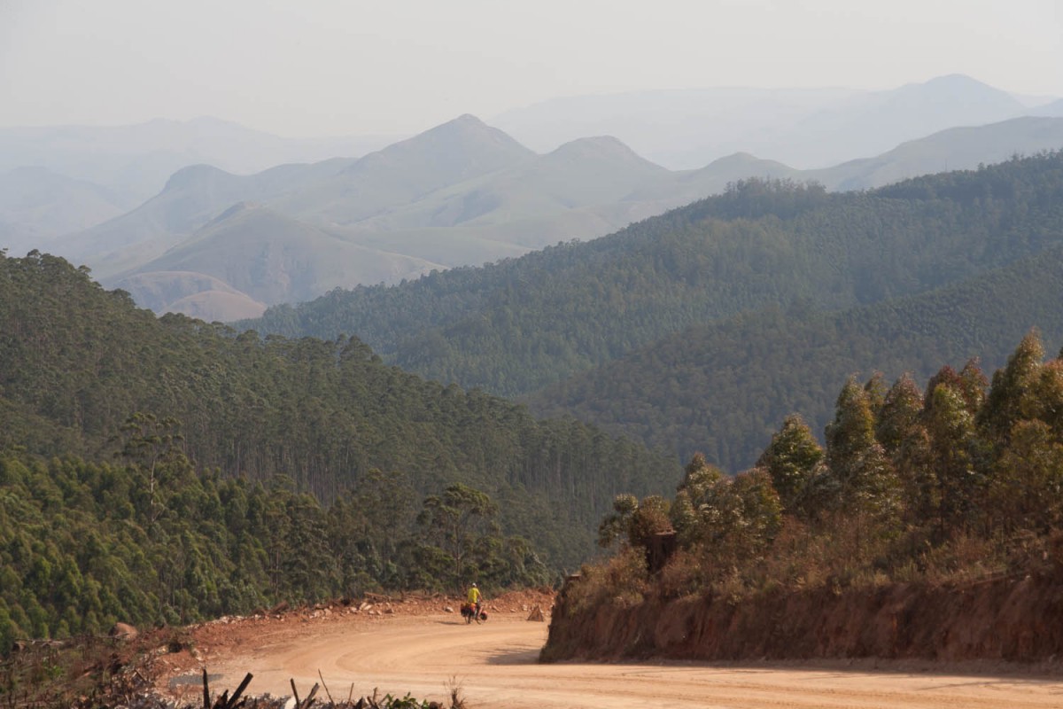
Sabie – Lydenburg – Dullstroom – Belfast
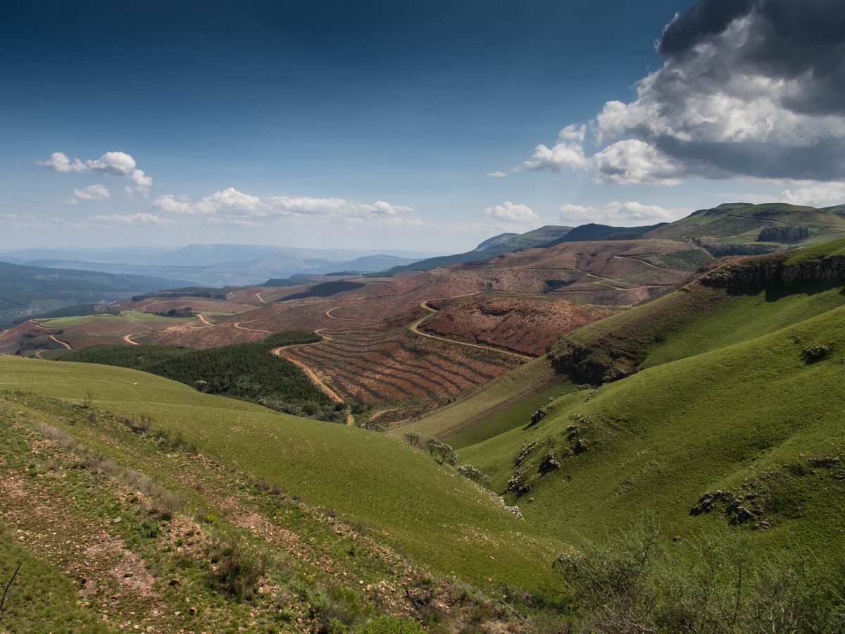
The main challenge on this route is the +20 kilometer climb up the 2150 m Long Tom Pass. Once you reach the Long Tom Gun (craft stalls) there are some kilometers downhill but then it’s up again. As soon as you spot the sign Mauchberg 2150 m don’t think you’ve made it. There are several uphill sections to come.
Sabie is down there, the top still a long way ahead
Nice views on the climb to the Long Tom Pass (2150 m)
We decided to stop cycling two kilometers before the top of the pass. The already strong head wind and increased to a head storm. Blowing us off our bikes more than one time. Within minutes we got a ride offered by a friendly South African man with a big pick up truck.
The road is moderately busy and has a shoulder on one side of the road. Without the strong winds we would have made it to Lydenburg. We spotted a b&b near the top.
We continued to Dullstroom on a Friday. This proved to be a very very busy day with lot’s of cars heasing of for a weekend in Dullstroom and it;’s surroundings. Riding wasn’t very pleasant on the shoulderless road. Maximum speed here is 120 km p/h.
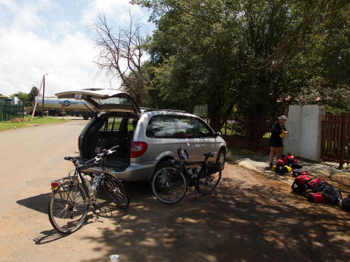
From touristy Dullstroom it was more or less downhill, all the way to Belfast. In Belfast we were picked up and transported by car back to Johannesburg.
At our meeting point in Belfast, loading the bikes
